
Figures & data
Figure 1. National Forest Inventory Photo Plots for Canada.
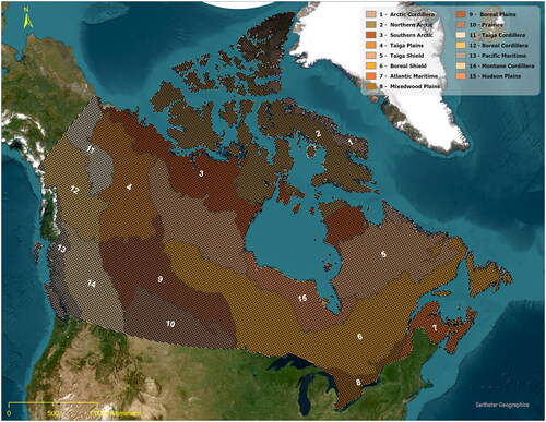
Table 1. Human impact land use layer data fields.
Table 2. Classes derived from interpreter plot descriptions.
Figure 2. Example of ESRI World Imagery Date mismatch with ESRI World Imagery.
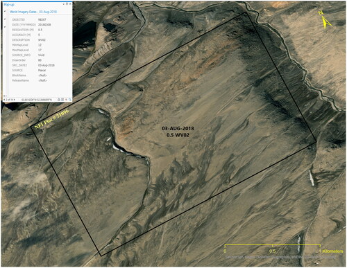
Figure 3. Human Impact missed due to old imagery.
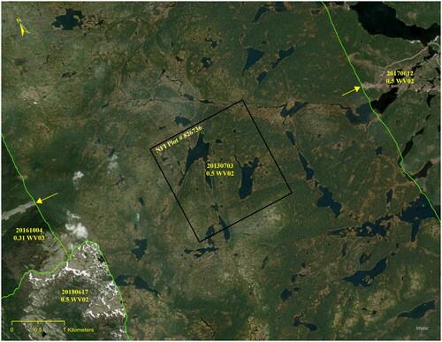
Figure 4. Area measurement of Human Impacts.
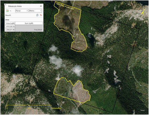
Figure 5. Seismic Lines: Left, Seismic line within 500 meters of each other, Right, Seismic lines greater than 500 m apart.
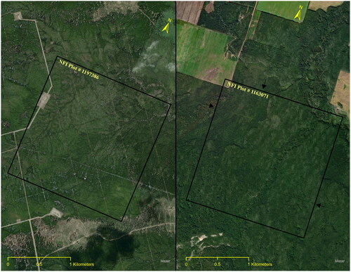
Figure 6. Human Impacts within NFI Photo Plots.
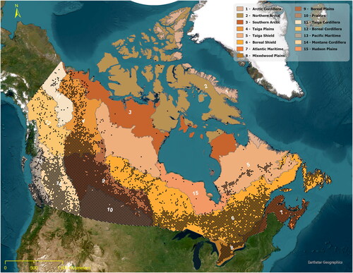
Table 3. NFI photo plot count by ecozone.
Table 4. Total area of impact within NFI photo plots.
Table 5. Area of human impact sorted by primary impact.
Figure 7. Human Impacts within NFI Photo Plots and within 10 km of NFI Photo Plots.
Figure 8. Human Impacts by Primary Classification. Includes impact within and outside of the Photo Plot Boundary.
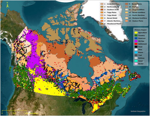
Table 6. Distance to human impact.
Data availability statement
The HILL dataset can be obtained from the National Forest Inventory upon completion of a data request form. This form can be found under the tab “Data & Tools” @ https://nfi.nfis.org