

ABSTRACT
Information on the physical and ecological state of streams along with an overview of the need for maintenance is traditionally a time-consuming manual field task with subsequent limitations in area coverage. Here we propose a novel approach to stream monitoring and management using a low-cost Unmanned Aerial Vehicle (UAV) platform to collect data comparable to that from traditional monitoring schemes. This technology provides high-resolution imagery while being easy to implement at a low cost along with providing data that represent the stream in both fine-scale and at landscape scale. The results show a significant correlation between results obtained by the two methods, with the largest difference in DFI values being 10, but in many cases being <5. The UAV-method is especially strong in supporting geographical measurements of stream width and course along with certain stream parameters such as physical variation, water flow and gravel coverage. The results indicate that UAV mapping of streams is a feasible alternative or support to the traditional mapping of certain open stream types with the possibility of covering more area with the same time-use.
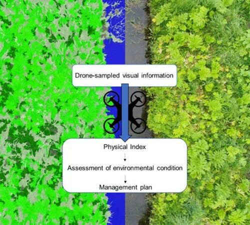
GRAPHICAL ABSTRACT
Acknowledgements
The authors thank Odense and Sonderborg Municipalities for their collaboration on data collection, access to areas and assistance in conducting this study, especially Ronnie S. Olsen from Sonderborg Municipality. We also thank the assistant Jonas Beck Pedersen for his support and assistance in data collection. The work was carried out by support through a grant from the University of Southern Denmark covering the Strategic Focus Areas (project number: 95-306-36024) in which the development of drone-methodologies is a part along with a grant from Energy Funen A/S (project number: 95-306-73151) specified for development of drone-solutions in the environmental sector. Geo Fyn A/S supplemented the project with equipment for testing.
The data that support the findings of this study are available from the corresponding author upon reasonable request. was created in Microsoft Powerpoint 2016 and and 3 were created using Sigma Plot 12.0.
Disclosure statement
No potential conflict of interest was reported by the author(s).