

ABSTRACT
The traditional area extraction method mainly depends on manual field survey methods, it is workload, slow and high cost. While remote sensing technology has the advantages of accuracy, rapidity, macroscopic and dynamic, which has become an effective means to extract crop growing area. In this paper, we took Kaifeng City in Henan Province as the study area. Firstly, we explored the advantages of Sentinel-2A RENDVI in crop identification. Then used the supervised classification SVM, object-oriented classification method and assisted with field measured data to extract the winter wheat planting area, the characteristics of the two methods were compared and analysed. Finally, we combined the above two classification methods and proposed a new classification method V2OAE to remove unnecessary influencing factors. The experiment results showed that RENDVI has better recognition ability than the NDVI (Normalized Difference Vegetation Index) in distinguishing vegetation with similar spectrum, the classification effect of object-oriented classification is better than supervised classification SVM, and our classification method removes unnecessary influence factors in the results of object-oriented classification, which is further improve the monitoring accuracy.
Firstly, we have preprocessed the Sentinel-2A image data, its steps are: (1) In the first step, we made radiation calibration for remote sensing images to eliminate the image distortion caused by external factors, data acquisition and transmission systems and so on; (2) In the second step, we made atmospheric correction to eliminate changes in the spectral feature of remote sensing images caused by atmospheric absorption or scattering; (3) In the third step, we made band resampling to unify the resolution of remote sensing images and facilitate the mathematical combination operation of vegetation index; (4) In the fourth step, we made mosaic and cutting to get preprocessed remote sensing images of Kaifeng City. Secondly, we analysed the spectral features of each object and established the interpretation mark with the field measured data. then we explored the ability to identify the ground objects based on NDVI(Normalized Difference Vegetation Index) and RENDVI. Third, we used the rule-based object-oriented classification method and SVM classification to extract the planting area of the study area, the input definition of SVM is spectral feature images of ground objects and the output definition of SVM is the recognition result of ground objects in the process of data training. Then the advantages and disadvantages of the two methods in classification results were analysed. Finally, In order to extract winter wheat information more accurately, we combined the above two classification methods and proposed a new classification method V2OAE (Vector Object Oriented Area Extraction) to remove unnecessary influencing factors, then the winter wheat planting area in Kaifeng City was statistically obtained.
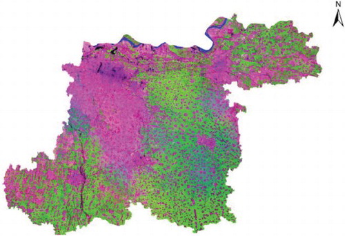
GRAPHICAL ABSTRACT
Acknowledgements
The authors would like to thank the referees and Editor for their helpful and detailed suggestions for revising this manuscript.
Disclosure statement
No potential conflict of interest was reported by the authors.
ORCID
Mengfan Wei http://orcid.org/0000-0002-0941-0327