
Figures & data
Figure 1. Towra Point Nature Reserve Ramsar-listed Wetland Study Site Location. Map shows suburb boundaries. Ramsar boundary from Australian Government Department of Agriculture, Water and the Environment. State suburb boundaries Administrative Boundaries © Geoscape Australia licensed by the Commonwealth of Australia under Creative Commons Attribution 4.0 International licence (CC BY 4.0).
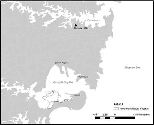
Table 1. Conventions, agreements, laws, and planning instruments directly and indirectly related to the protection and management of Towra Point Nature Reserve.