Figures & data
Figure 1. Map indicating two georeferenced roads that ran between Somerset East and Gqeberha (previously known as Port Elizabeth), South Africa, with the road running past the Zuurberg Mountain Village being the most likely area where the original site may have been.
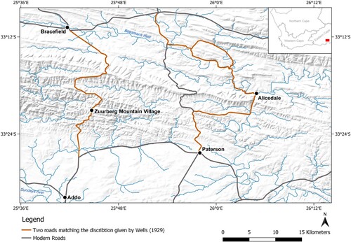
Table 1. Cranial dimensions of adults in millimetres (Buikstra and Ubelaker Citation1994).
Table 2. Measurements of the mandible in millimetres (Buikstra and Ubelaker Citation1994)
Figure 2. Plan of excavations, redrawn from Wells (Citation1929). No scale is available.

Figure 3. Skull of Zg1 from above. Note the ochre staining (red circles).
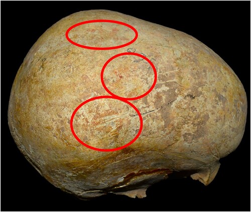
Figure 4. Ventral and dorsal views of an atlas found in association with Zg3.
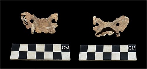
Figure 5. Ventral (A) and dorsal (B) views of the atlas associated with Zg3 (left) compared to that of a domestic dog (right).
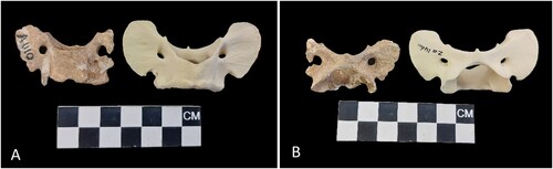
Figure 6. Skull of Zg 3 in anterior and lateral view.

Figure 7. Anterior and posterior views of the right bipartite patella (indicated by the arrow) associated with Zg 3.
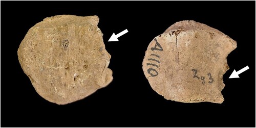
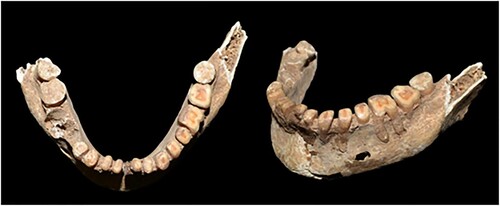
Figure 8. Mandible of Zg7, showing the advanced dental wear.
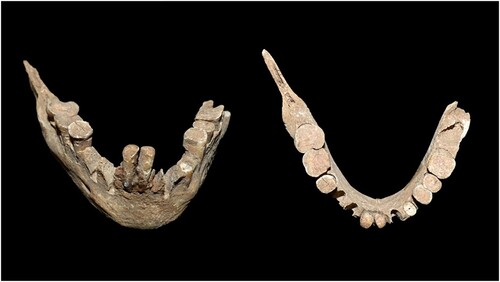
Figure 9. Mandible of Zg8. Note the advanced dental wear.