Figures & data
Figure 1. A selection of multi-modal research objects produced: 1. Illustrated site map with observation and discussion notations; 2. List of observed activities; 3. Photographic models of barricades; 4. Satellite image timeline of clearance process; 5. Pathway illustration; 6. Historical planning activity arrangements. Source: Author
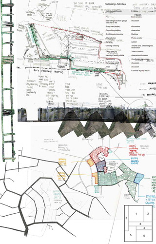
Figure 2. Drumchapel. Source: Author
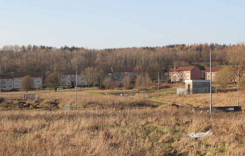
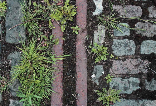
Figure 3. Govan. Source: Author
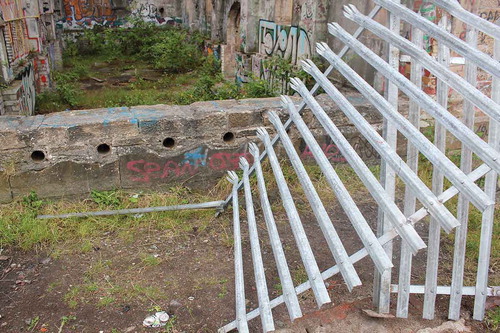
Figure 4. Port Dundas. Source: Author
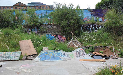
Figure 5. Park Head. Source: Author
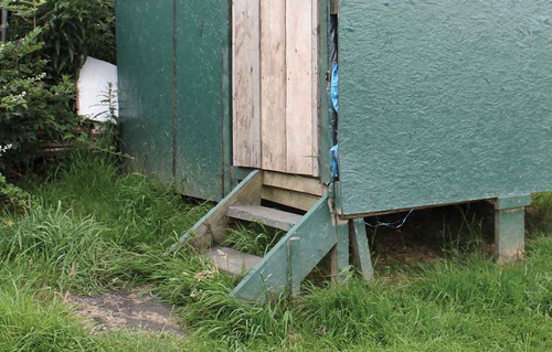
Figure 6. Govan. Source: Author