Figures & data
Fig. 1. Ruffey Lake Park, (1) The old Tree, (2) Waldau village, (3) Friedensruh, (4) The Thiele Orchard, (5) Gordon Creek, (6) Ruffey Creek, (7) Old Bullock Track Ford, (8) Woodcutters & Coke Burners, (9) Monterey Pine Windbreaks, (10) Magic Mountain, (11) The Tully Orchard, (12) The Crouch Orchard, (13) Williamson’s Dairy Farm, (14) Remnant Woodlands, (15) Wurundjeri Willam, (16) Old Mudstone Quarries, (17) Finger’s Bunya Pines, (18) Old Cart Track, (19) Schramm’s Cottage & Museum, (20) Victoria (Bismarck) Street (Source Manningham City Council www.manningham.vic.gov.au).
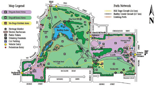
Fig. 2. Ruffey Creek in relation to Melbourne (Source: City of Manningham (Calder et al., Citation1974).
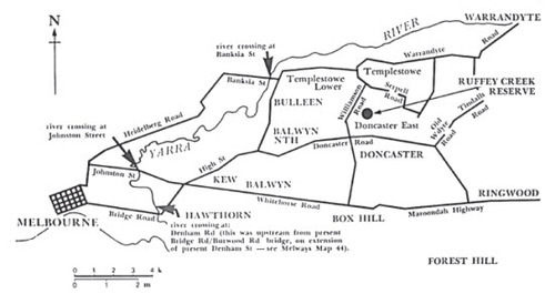
Plate I. Victoria Street, around 1905, looking north (Source: City of Manningham: Calder et al., Citation1974).
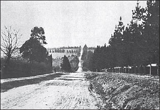
Plate II. Friedensruh and original pear tree, from the north bank of Ruffey Creek, 1973 (Source: City of Manningham: Calder et al. Citation1974).
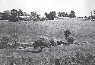
Fig. 3 Schematic design map of Ruffey Lake Park, 1974 (Source: Calder et al., Citation1974).
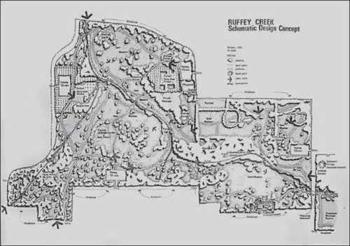
Fig. 4. Niavaran Park (Map source Mokhtari Citation2007. Photograph the author).
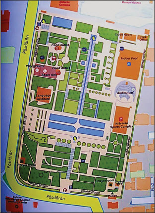
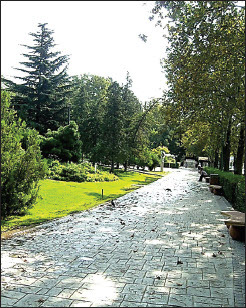
Fig. 5. Sayee Park (Map source Mokhtari Citation2007. Photograph the author).
Pl. III. Niavaran Park.
Pl. IV. Sayee Park
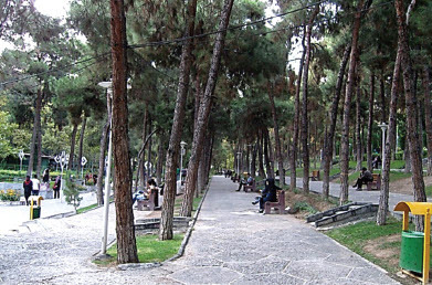
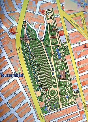
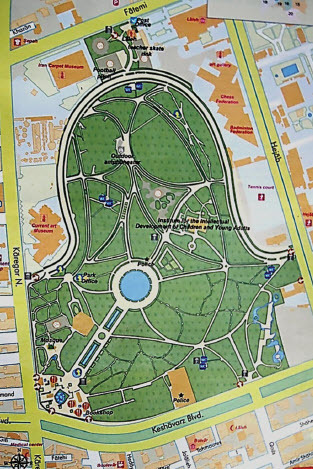
Fig. 6. Laleh Park (Map source Mokhtari Citation2007. Photograph the author).
Pl. V. Laleh Park
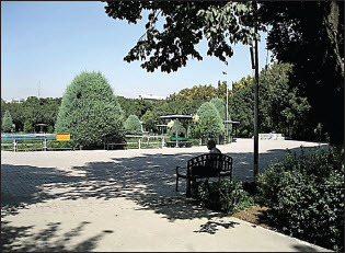
TABLE 1. LANDSCAPE SETTINGS WITH RECREATIONAL VALUES IN IRAN’S PARKS, IDENTIFIED BY TWO GROUPS OF RESPONDENTS
TABLE 2. LANDSCAPE SETTINGS WITH RECREATIONAL VALUES IN RUFFEY LAKE PARK, IDENTIFIED BY TWO GROUPS OF RESPONDENTS.
TABLE 3. LANDSCAPE RECREATIONAL QUALITIES IN RUFFEYLAKE PARK AND IRAN’S PARKS
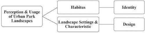
Fig. 7. Perception and usage of urban park spaces.
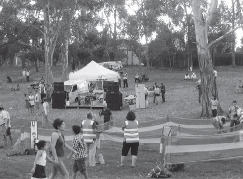
Pl. VI Iranian fire jumping festival (chaharshanbe-Sury) in Ruffey Lake Park (Photograph by the author).