Figures & data
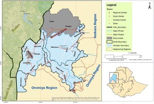
Figure 1. Map of the Benishangul-Gumuz regional state, showing the locations of the woredas studied. Sources: This map was created by Nigussie Abdissa, a colleague who works in the Tana-Beles Integrated Water Resource Development Project, Assosa, using ArcGIS 10.1 by Esri (© Esri). Boundary data were obtained from the Benishangul-Gumuz Bureau of Finance and Economic Development (BoFED).