Figures & data
Figure 1. DigitalMatatus map of Minibus Routes in Nairobi. Courtesy: MIT Civic Data Design Lab/DigitalMatatus.
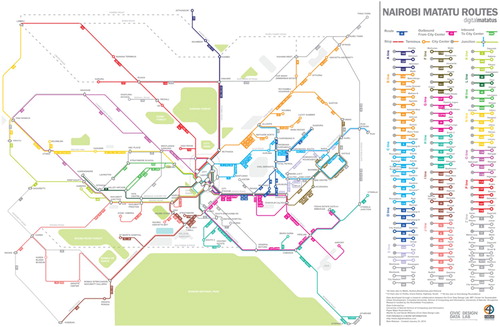
Figure 2. The DigitalMatatus Map shows the complex way that transfers must be done at the center of the City, an inefficiency emerging out of the private nature of the system Courtesy: MIT Civic Data Design Lab/DigitalMatatus
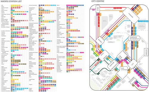
Figure 3. Mapas Dos Chapas stylised map catalysed the creation of an integrated public transport including minibus routes for Maputo.
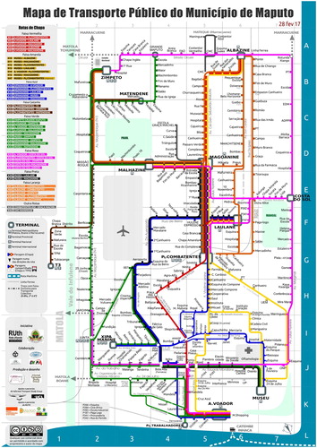
Figure 4. Prototype picture bus stop Maputo. Source: Engineers without borders Maputo.
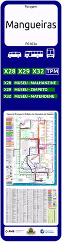
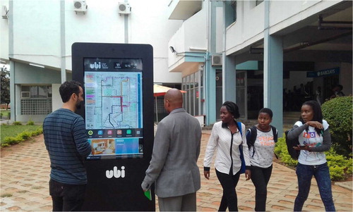
Figure 5. Maputo's map of public transport displayed by UBI in Maputo. Source: Joaquin Romero.