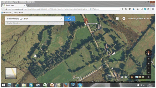
Figure 1 Screen image from Google Maps of a location presently subject to planning enforcement action in rural Wales. The image resolution and ease of use allows for a very quick aerial image to be called up on screen. The image identifies various structures located in individual field parcels. This imagery can be used to help explore the site during an in-person visit. Source: Google Maps, visited 15 June 2015.
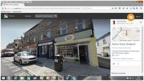
Figure 2 Screen image of Google Street View as it would appear on a desktop. The image is a detailed one and would identify the presence of street signage, window security shutters and other physical features in the built environment. The example is from a typical street on the fringe of a commercial centre of a town. Source: Google Maps, visited 15 June 2015.