Figures & data
Figure 1. GeoAir: a low-cost, GPS-enabled, portable DIY air-monitoring device.
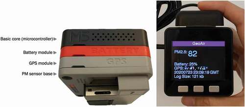
Figure 2. The procedure for the air-sensing class project to assess air quality and personal exposure using emerging technologies and web GIS.
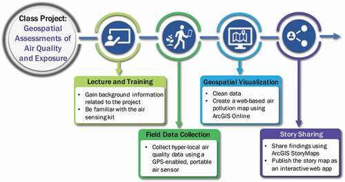
Figure 3. Air-sensing kit distributed to students for the class project: GeoAir device, USB cable, micro SD card, and SD card reader.
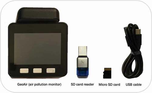
Figure 4. A data-cleaning web tool developed for the class project.
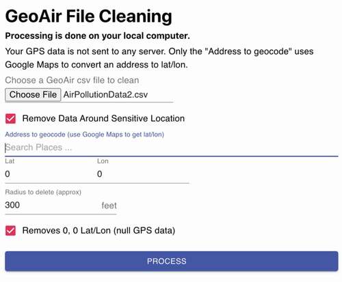
Figure 5. An example of a web map of air pollution concentrations (included in the project instructions).
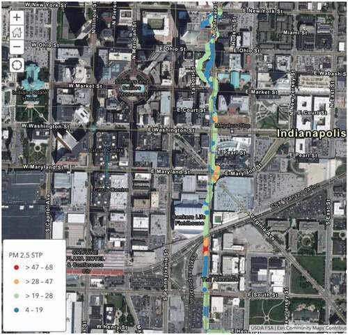
Figure 6. Instructions for creating a sidecar block (left) and a guided tour block (right).
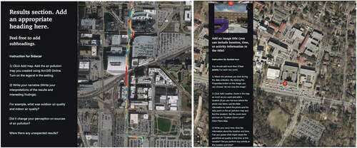
Figure 7. The introductory section of a student’s story map.
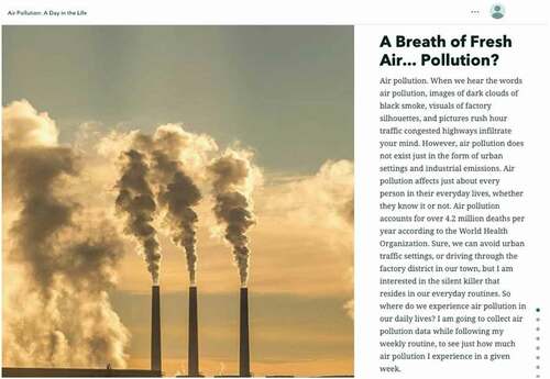
Figure 8. The results section of a student’s story map (using a sidecar block).
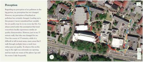
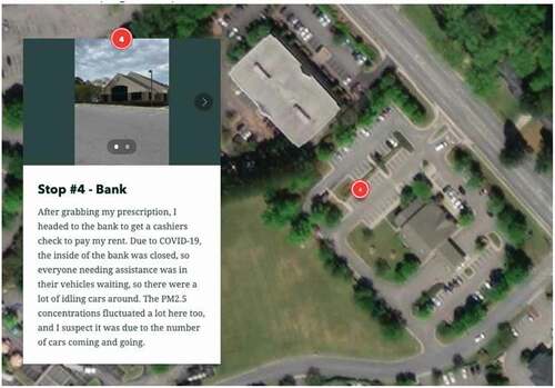
Figure 9. The results section of a student’s story map (using a guided tour block).