Figures & data
Figure 1. Northwards urban expansion onto agricultural land in Umhlanga. Source (Barger, Citation2016).
Figure 2. Ridgeside mixed-use mega development node. Source (SA Property Insider, Citation2018).
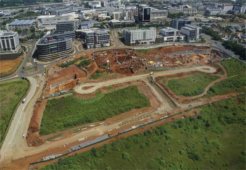
Figure 3. Cornubia location within the sugarcane estates of Tongaat Hulett in northern Umhlanga. Source: municipality photograph (September, 2016).
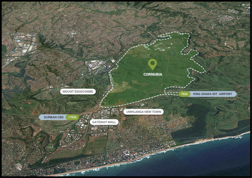
Figure 4. Clearance of land for the development of the Cornubia shopping mall. Source: municipality photograph (September, 2016).
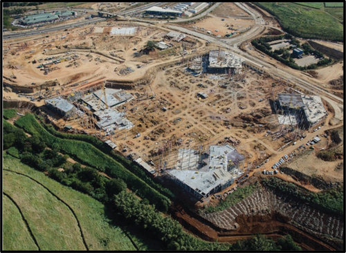
Figure 5. Perceptions of Umhlanga residents on challenges affecting UGS conservation in Umhlanga due to urbanisation.
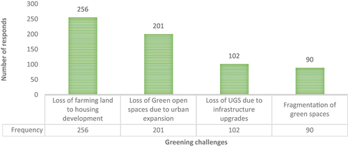
Table 1. Residents’ perception how to promote or ensure adequate UGS in Umhlanga.
Figure 6. The Hawaan forest Estate on the edge of the Hawaan forest.
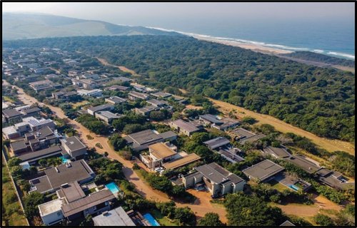
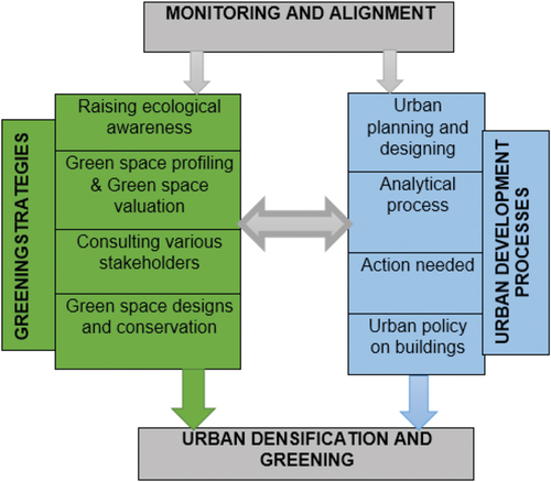
Figure 7. Integrating green spaces into urban development.