Figures & data
Figure 1. Map of the Israel/Lebanon/Syria Border Region Showing the Blue Line and the Northern Half of the Golan Heights. Source: Google Earth.
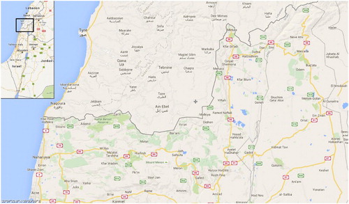
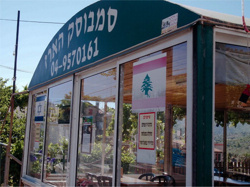
Figure 2. Israeli and Lebanese Flags Displayed at a Sambusek Restaurant in the Village of Hurfeish. Source: the author.