
Figures & data
Figure 1. Map of Ikaria, Samos, and the surrounding islands. Drawn by the authors.
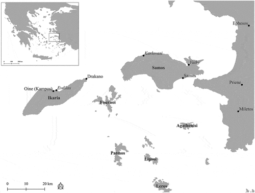
Figure 2. View from Mt Kerkis, west Samos. The Fournoi archipelago is visible in the foreground, and the tip of Ikaria is just visible to the right side of the photograph. Photograph by the authors.
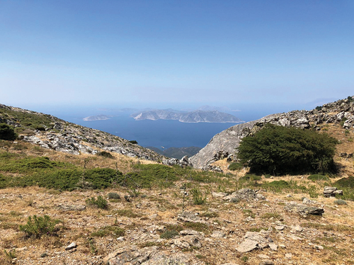
Table 1. The inscriptions of Ikaria as published in Inscriptiones Graecae. Where the information is known, type of inscription, date, and findspot are indicated.
Table 2. Inscriptions from Oine, Ikaria, as discussed in this article. These inscriptions appear in full in the Appendix.
Figure 3. Map showing the distribution of epigraphic uses of residency formulae per place in the Aegean and western Anatolia. Drawn by the authors.
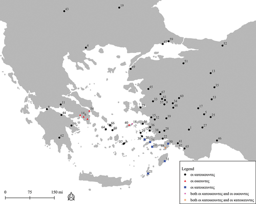
Table 3. Count of inscriptions using the ‘οἱ κατοικοῦντες’ residency formula, indicating in each instance which (if any) named groups are specified on the inscription.