Figures & data
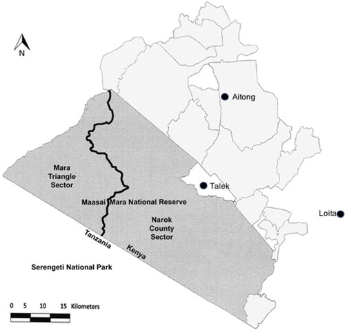
Figure 1. Map of Maasai Mara National Reserve (MMNR), Kenya, and surrounding area. Dark grey shading represents MMNR and light grey shows the surrounding conservancies. Locations of communities included in the study are indicated by black dots.