
Figures & data
Figure 1. Spatial distribution of Twitter data in Morogoro urban municipality
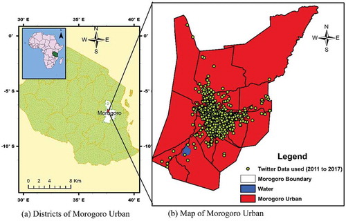
Figure 2. Overview of our research approach
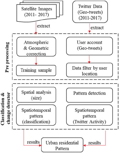
Figure 3. Overview of our research approach
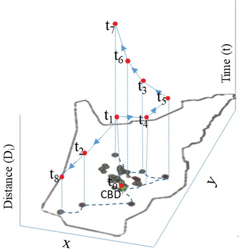
Figure 4. Kernel surface fitted
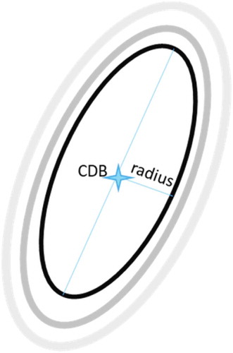
Table 1. Land cover n change in the Morogoro urban municipality and the impact on ecosystems services
Figure 5. Land cover distribution of Morogoro urban municipality
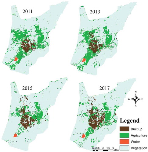
Figure 6. Kernel distance value increasing of new user account and Tweets location for seven years
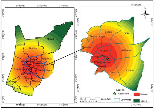
Figure 7. A correlation between number of Twitter accounts and population in the area
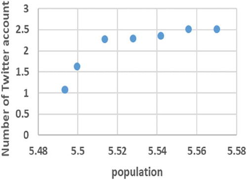
Figure 8. Spatial distribution of urban land from 2011 to 2017, and Twitter data in 2011 and 2017
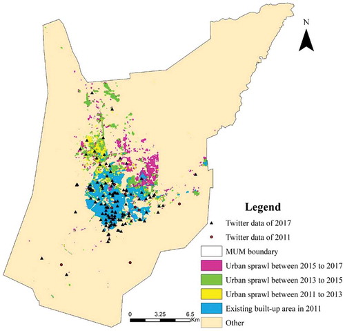
Figure 9. Increased population from 2012 to 2017 in Morogoro
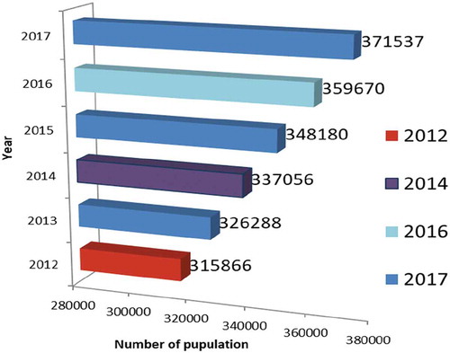
Table 2. SDG Goal 11: Make cities and human settlements inclusive, safe, resilient and sustainable
Table 3. SDG Goal 15: Protect, restore and promote sustainable use of terrestrial ecosystems, sustainably manage forests, combat desertification, and halt and reverse land degradation and halt biodiversity loss