
Figures & data
Figure 1. The image of trampled paths obtained by the simulation
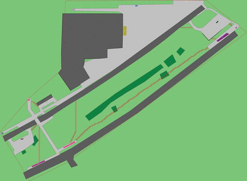
Figure 2. A satellite image of the territory
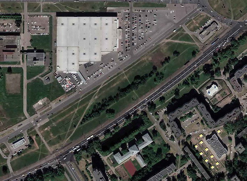
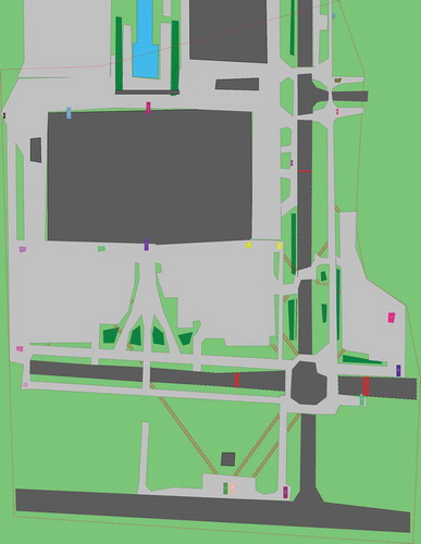
Figure 3. Road crossing points extracted from simulation results

Figure 4. Clustering of road crossing points.
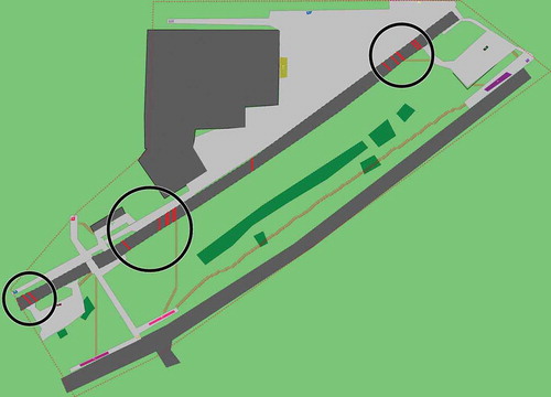
Figure 5. An image of recommended crosswalks
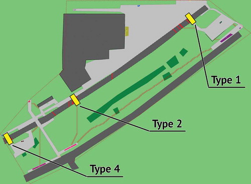
Figure 6. An example with the simulation result (weight 1.5, max cluster size 75 m)
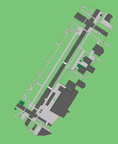
Figure 7. The image of trampled paths and road crossing points after re-simulation
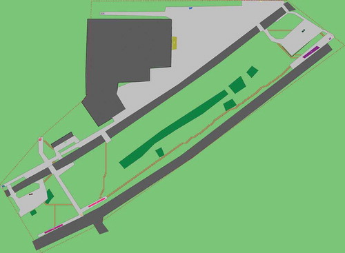
Figure 8. Accidents involving pedestrians crossing the road in the wrong place
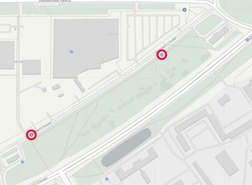
Figure 9. The image of trampled paths and road crossing points before arranging the recommended crosswalks
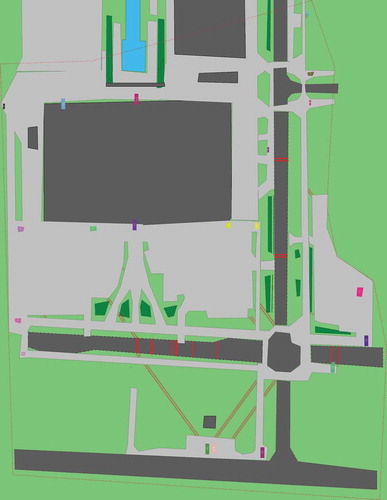
Figure 10. A satellite image of the area (Kudinov et al. Citation2018)
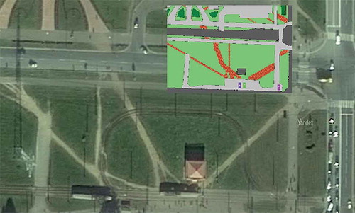
Figure 11. The image of road crossing clusters and recommended crosswalks
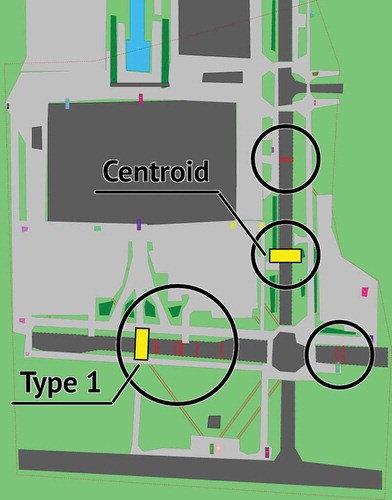
Figure 12. The image of trampled paths and road crossing points after re-simulation
Data availability statement
The data that support the findings of this study are openly available in Zenodo at https://doi.org/10.5281/zenodo.4041861, reference number 4041861.