
Figures & data
Figure 1. 3DGIS and BIM data integration.
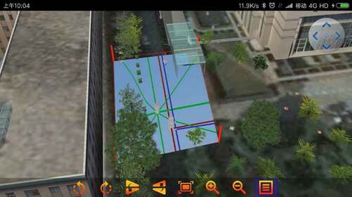
Figure 2. Coordinate transformation of BIM model. (a) BIM data. (b) The constructed real 3D scene. (c) Loading BIM into 3D scene.
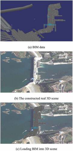
Figure 3. Flow chart of triangular facet merging simplification.
Figure 4. Definition of angle between triangular facets.
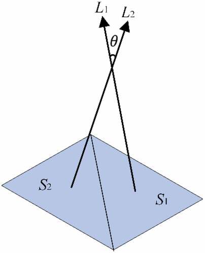
Figure 5. Construction of semantic mapping library between CityGML and IFC based on FME.
Figure 6. Key technologies for 3DGIS and BIM functional integration.
Figure 7. A comparison of visual effects before and after data simplification.
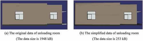
Figure 8. Comparison of BIM data simplification effect.
Figure 9. Visualization of the underground hidden pipeline information.
Data Availability Statement
The data that support the findings of this study are available from the corresponding author, [Mingxia Xie, E-mail: [email protected]], upon reasonable request https://figshare.com/s/b1505733c79b703659bc.