
Figures & data
Figure 1. Network structure diagram of HRRSODN.
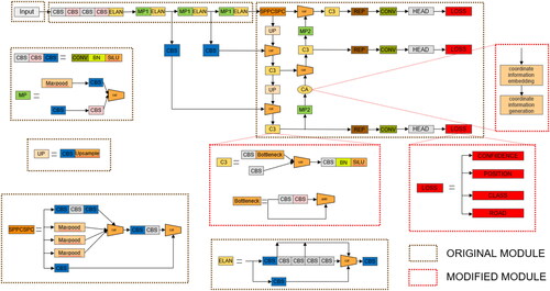
Figure 2. Road binary map.
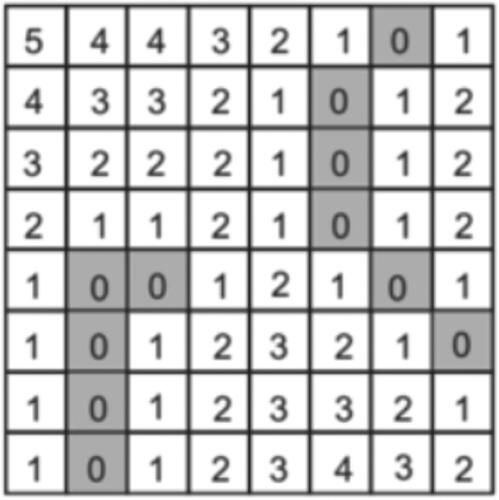
Figure 3. Coordinate attention flow chart for fusing spatial relationships.
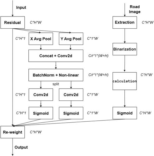
Figure 4. POI points in China.
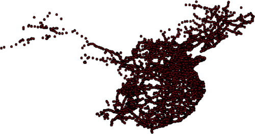
Figure 5. Road network in China.
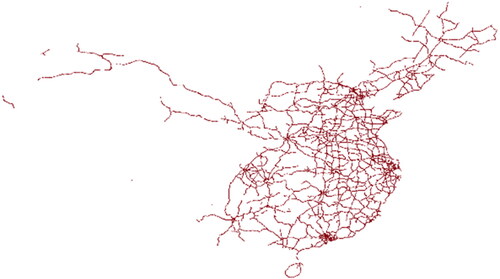
Figure 6. POI point distribution of gas stations in China.
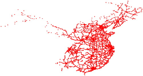
Table 1. Ablation experiments of YOLOV7 introduced into HRRSODN.
Table 2. Ablation experiments of YOLOV5 introduced into HRRSODN.
Table 3. Ablation experiments of Centernet introduced into HRRSODN.
Table 4. Ablation experiments of HRRSODN on the gas station dataset.
Figure 7. Detection effect of HRRSODN.
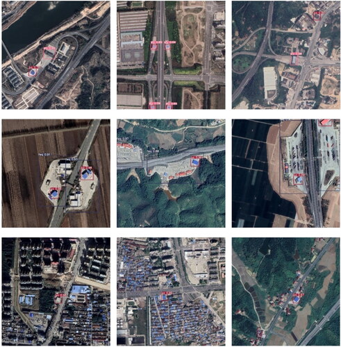
Figure 8. Prediction performance of each network.
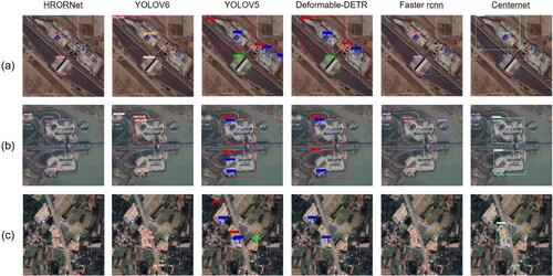
Table 5. Comparative experiments of HRRSODN on the SR dataset.
Table 6. Comparative experiments of HRRSODN on the DIOR dataset.
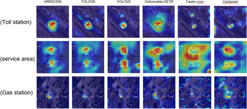
Figure 9. Heatmap comparison of multiple networks.
Data availability statement
The paper provides the database used in the current study at baiduy-un(https://pan.baidu.com/s/1FZGTbIPzrjXe1b4qstCD1Q?pwd=xwo4; extraction code: xwo4, accessed on 20 August 2023) and the python code available online at GitHub (https://github.com/suyishao99/HRRSODN, accessed on 20 August 2023).