Figures & data
Figure 1. Monmouth 0 – Meehan’s map of the River Derwent in Van Diemen’s Land. Tasmanian Archives, AF396/1/206.
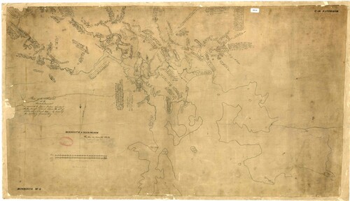
Figure 2. One of Meehan’s notebooks.
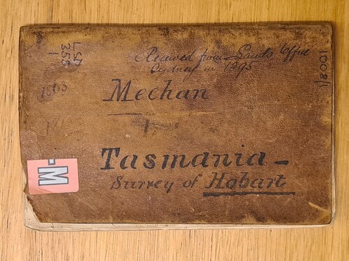
Figure 3. A page of the microfilmed copy of Meehan’s journals. Note that half of the page is written upside down, reflecting the closed traverse technique used. Tasmanian Archives, LSD355/1/1.
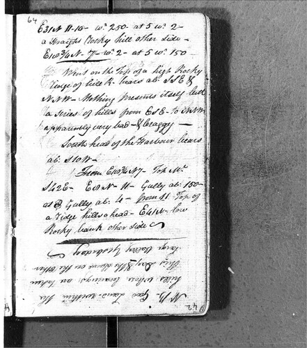
Figure 4. Transcribed and redrawn version of Monmouth 0, with a modern extent indicator showing the region discussed. Credit: the author.
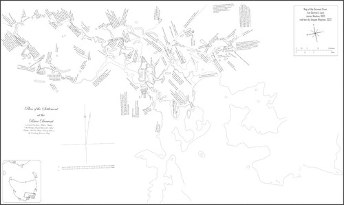
Figure 5. Extract of Monmouth 0 showing the detail of Sullivan Bay and the lack of detail at Risdon Cove. Credit: the author.
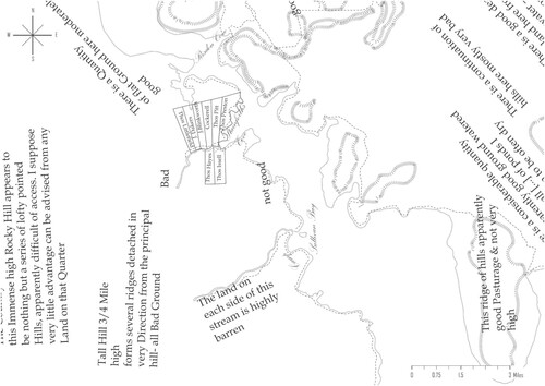
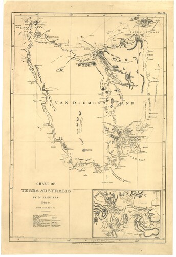
Figure 6. G&W Nichol’s 1814 edition of Matthew Flinders’ map of Van Diemen’s Land, crediting some details to ‘Mehan’. Tasmanian Archives, AF395/1/10.