Figures & data
Table 1 Hazards within South Carolina science academic standards (CitationSCDE, 2005a)
Table 2 Hazards within South Carolina social studies academic standards (CitationSCDE, 2005b)
Table 3 Topic presentation within the courseFootnote∗
Table 4 Major hazard concepts introduced
Table 5 Major GIS concepts introduced
Figure 1 Base map of Graniteville, SC
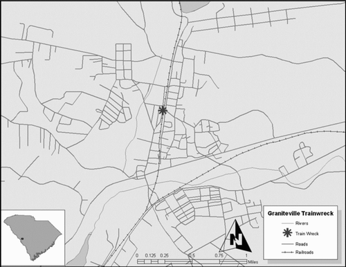
Figure 2 Vulnerability for Harrison County, MS – children vulnerability space
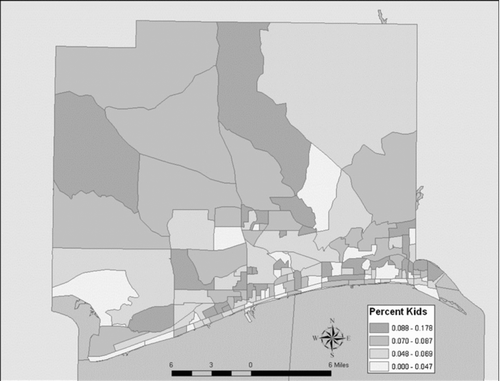
Figure 3 Vulnerability for Harrison County, MS – poverty vulnerability space
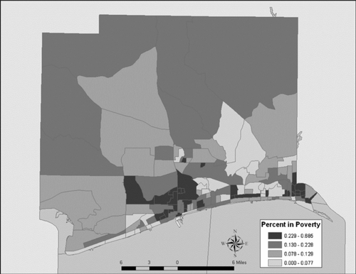
Figure 4 Overall place vulnerability for Harrison County, MS
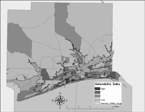
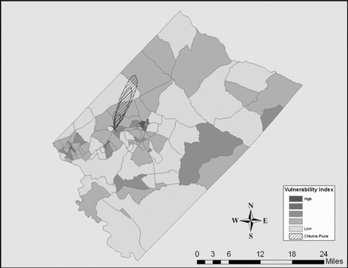
Figure 5 Overall place vulnerability for Graniteville, SC