Figures & data
Figure 1. Remnants of piles and scatterings of shells from the historic oyster farm along the coast, with the railway line cutting across the horizon. (Photograph by author.)
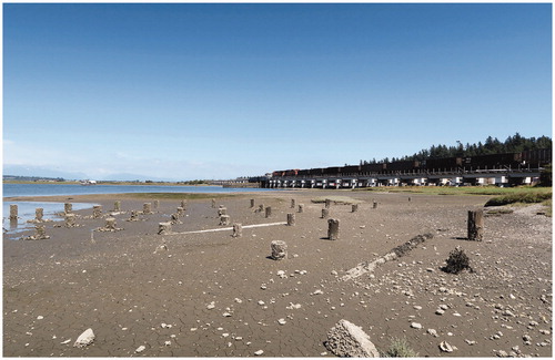
Figure 2. Coast Salish peoples gather in protest of the land reserve reductions on Queen Victoria’s birthday in 1864. (Charles Gentile Early British Columbia Photos, Uno Langmann Family Collection of British Columbia Photographs.)
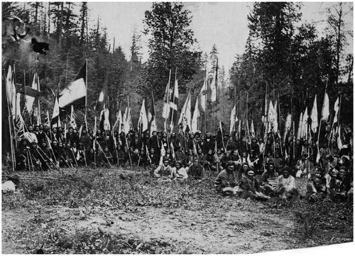
Figure 3. Map of New Westminster District, B.C., 1876. (Map by the British Columbia Government Department of Land and Works, City of Vancouver Archives, AM1594-: Map 2.)
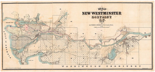
Figure 4. The traditional territory of the Semiahmoo and the 49th parallel. (Image by author.)
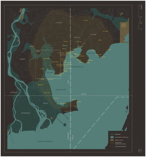
Figure 5. Flood at Stewart Barn beside Nicomekl River, 1920s. (Surrey Archives 2013.0043.16.)
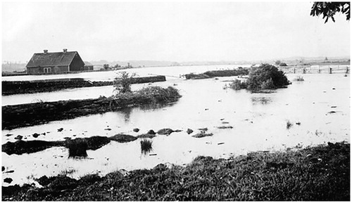
Figure 6. Flood at Hornby’s house, 1935. (Surrey Archives 180.9.06.)
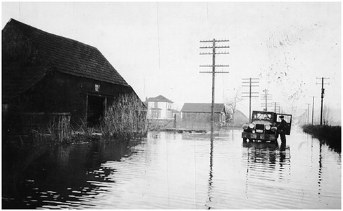
Figure 7. Flood resulting from dike breach at Serpentine River, 14 February 1952. (Surrey Archives SM.224B.)
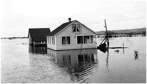
Figure 8. Flood along Pacific Highway near 40th Avenue, 25 January 1968. (Surrey Archives SA1992.036.11409.)
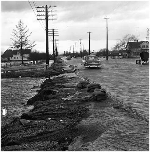
Figure 9. Map of the Surrey floodplain with an elevated grid of infrastructure, and past and proposed oyster farms. (Image by the author.)
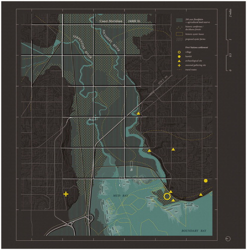
Figure 10. Elevated infrastructure over the Surrey floodplain. (Image by author.)
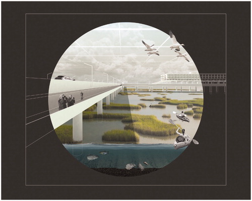
Figure 11. “Land reclamation” strategies for the Surrey floodplain. (Image by author.)
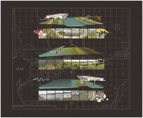
Figure 12. Oyster farmers on mudflats in 1930. (Surrey Archives 180.2.25A.)
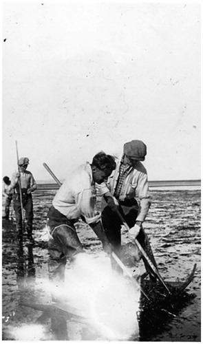
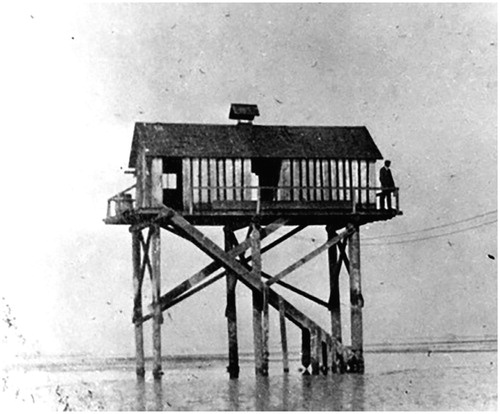
Figure 13. Crescent Oyster Company bunkhouse, ca. 1930. (Surrey Archives 180.2.24.)