Figures & data
Map 1. Southern Maluku, Dutch map drawn between 1690 and 1743. Source: Public domain.
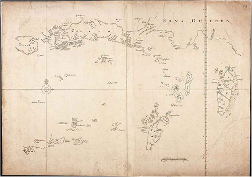
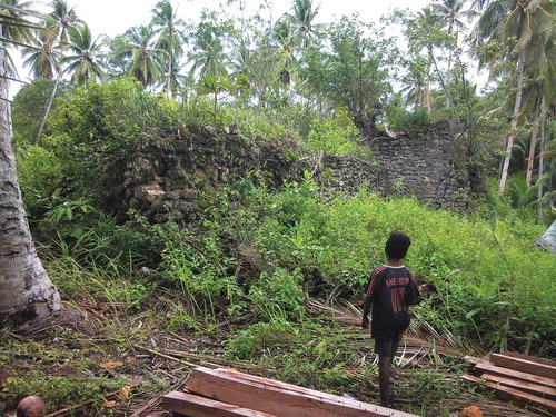
Figure 1. The ruined mosque in Ujir, probably the easternmost mosque in the world in the early-modern era. Photograph: Hans Hägerdal.
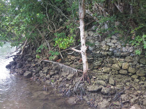
Figure 2. The old Dutch fort in Wokam, rebuilt in the 1790s. Photograph by Hans Hägerdal.