Figures & data
Figure 1. Oir River catchment area and location of study area: La Roche and Vallée aux Bergres (VAB).
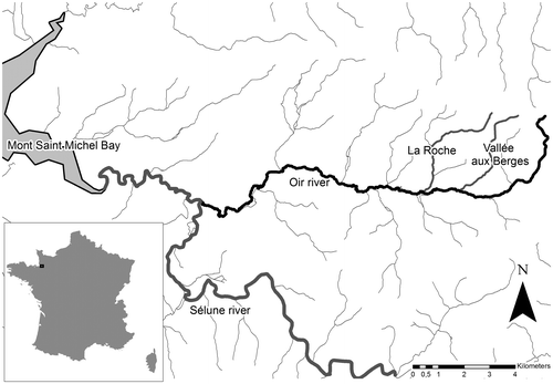
Figure 2. Methodology for historical analysis of riparian landscape and Management Practice (MP) construction according to transitions between wooded (= 1) and open vegetation (meadow = 0); the five MP (A, B, C, D and E) are obtained by cluster analysis based on transitions. Transitions : 1-1 = stable wood, 0-0 = stable meadow, 0-1 = colonization by wood, 1-0 = wood cutting.
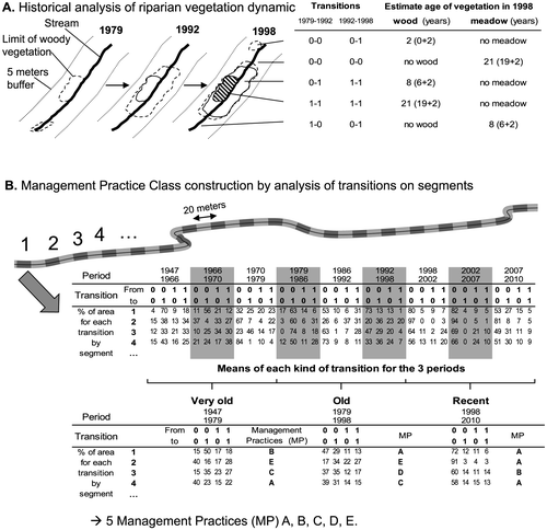
Figure 3. Management Practice Class description according transition (0 = open vegetation, 1 = riparian wood), 1-1 = stable wood; 0-0 = stable open vegetation, 0-1 = colonization by wood and 1-0 = wood cuts.
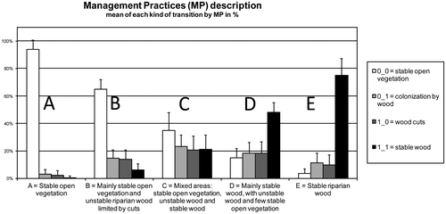
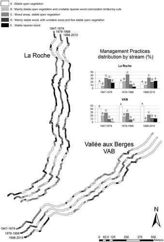
Figure 4. Riparian landscape changes according to riparian Management Practices (MP).