Figures & data
Figure 1. Kwan Tee Pagoda, Mauritius (Photo by author).
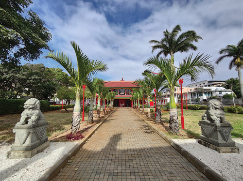
Figure 2. The main hall of Kwan Tee Pagoda (Photo by author).
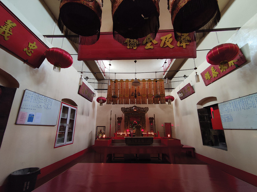
Figure 3. A mural in Port Louis’ Chinatown celebrating the 50th anniversary of diplomatic relations between China and Mauritius (Photo by author).
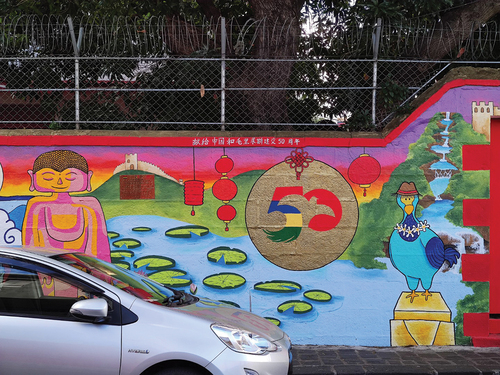
Figure 4. The Guandi Altar in Tamatave, Madagascar (Photo by Author).
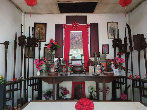
Figure 5. The warrior Guan Yu, wall art at Guan Wang Temple, Yuncheng, Shanxi, China (SR-EL license © Beibaoke1|Dreamstime.com).
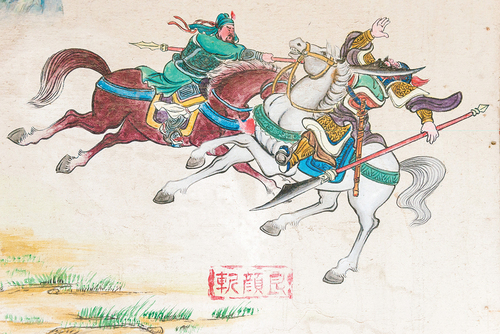
Figure 6. Dongshan Guandi Temple, Fujian, China (SR-EL license © Tsangming Chang |Dreamstime.com).
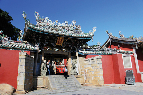
Figure 7. The Foundational Temple of the Warrior in Tainan. The roof decor prominently features oceanic elements (Mrmarkertw, CC BY-SA 4.0, via Wikimedia Commons).
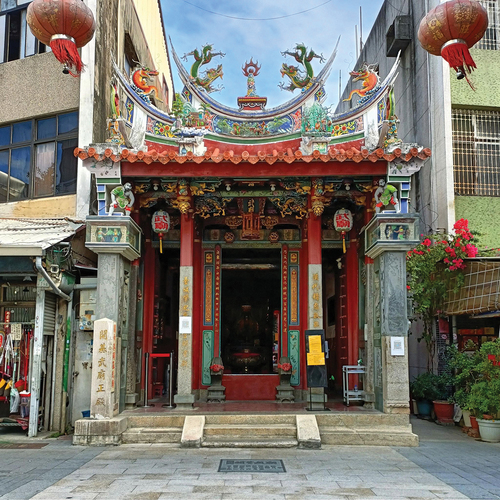
Figure 8. Looking from the Altar. The Guandi statue once gazed at the sea just outside the gate (Photo by Author).
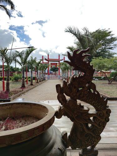
Figure 9. Repainted Stele in Kwan Tee Pagoda (Photo by Author).
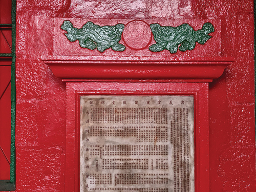
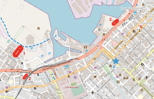
Figure 10. The location of Kwan Tee Pagoda in Port Louis (1: Kwan Tee Pagoda. 2: Heen Foh Lee Kwon Pagoda. 3: Aapravasi Ghat. 4: Chinatown. 5: government house. Dotted blue line near 1: roughly the original coastline in late 1800s, drawn by the author based on a photo taken in 1899, available at vintagemauritius.Org. Map source: OpenStreetMap).