Figures & data
Figure 1. Map showing location of Perth. Made in QGIS using natural earth data.
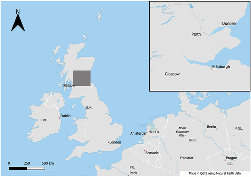
Figure 2. Kinnoull Hill dominating the landscape from the M90 road travelling north-east. Photo by author.
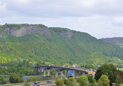
Figure 3. Location map for Kinnoull Hill Woodland Park. Contains public sector information licenced under the Open Government Licence v3.0. Made in QGIS using OpenStreetMap data CC BY-SA 4.0.
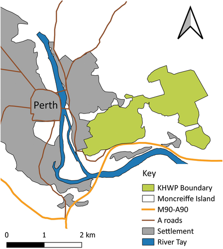
Figure 4. Dangerous cliffs warning sign. Photo by author.
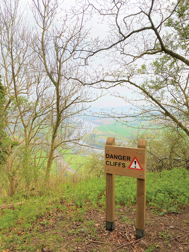
Figure 5. Interpretation panel on Kinnoull Hill. Photo by author.
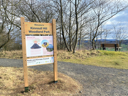
Figure 6. Map of the KHWP with location markers for sites from the HER. Contains public sector information licenced under the Open Government Licence v3.0. Contains ordnance survey data (c) crown copyright and database right 2023.
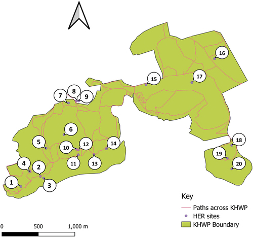
Table 1. Details for HER sites within Kinnoull Hill Woodland Park. Contains public sector information licenced under the Open Government Licence v3.0.
Figure 7. The Dragon’s Hole. Photo by author.
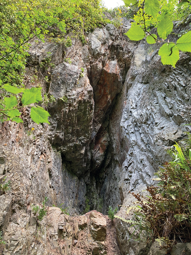
Figure 8. Deuchny Hillfort from the main path. Photo by author.
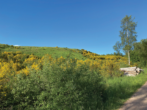
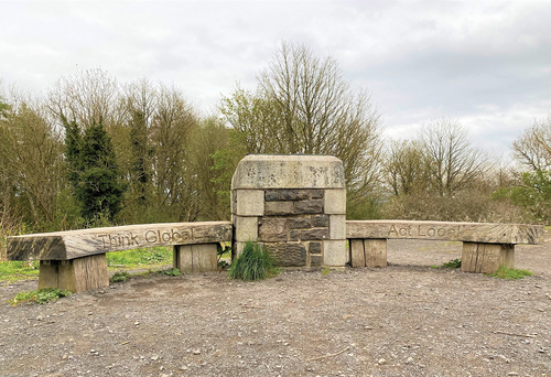
Figure 9. Bench on summit of Kinnoull Hill with the phrase ‘Think global, act local’.