Figures & data
Figure 1. 1858 map showing Wavertree to the south east of Liverpool.Footnote14
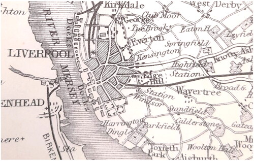
Figure 2. A section of Ackerman’s panoramic map (1847) showing countryside beyond the city limits.
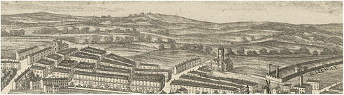
Figure 3. Map showing Penny Lane, surrounding fields and built landscape (re-drawn from 1864 6" Ordnance Survey map).Footnote29
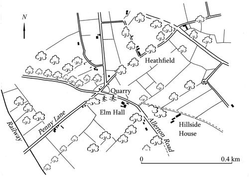
Figure 4. Map showing housing to the north west of Penny Lane (re-drawn from the 1894 6" Ordnance Survey map).
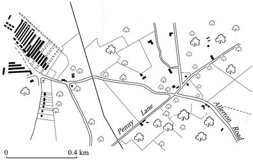
Figure 5. Penny Lane (re-drawn from 1909 OS 6" map).
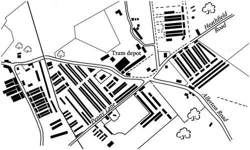
Figure 6. An electric tram outside the depot near the Penny Lane/Heathfield Road junction.Footnote77
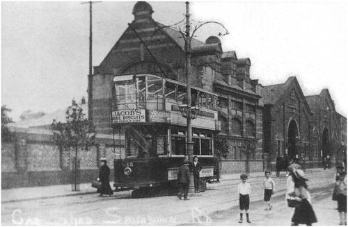
Figure 7. Section redrawn from the 1939 25" OS map showing some key sites including the bus shelter on the island in Smithdown Place, which features in the Penny Lane lyrics. The church where McCartney sang as a choirboy is the highlighted building directly south of the bus shelter.
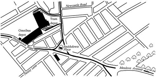
Figure 8. Wider view showing Woolton in relation to Penny Lane. Lennon’s senior school, Quarry Bank, is the shaded building above the 'C' of Calderstones. Map redrawn from the 1956 Ordnance Survey 25" edition.
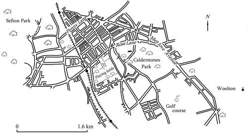
Figure 9. The Strawberry Field part of Woolton. Mendips is the shaded building near the 'l‘ of Menlove; Strawberry Field is the larger shaded building to the north of the map. Redrawn from the 1956 1:10,000 Ordnance Survey map.
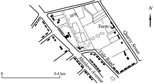
Figure 10. The southern part of Woolton, redrawn from the 1956 1:10,000 Ordnance Survey map. Eleanor Rigby Woods’s childhood home was near the southernmost end of Vale Road.
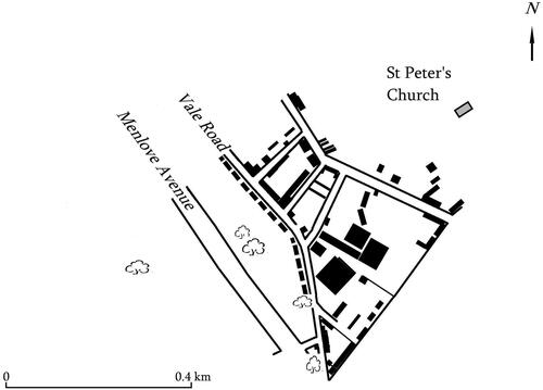
Figure 11. Old photograph of Strawberry Field near the Salvation Army visitor centre. Photo: author.
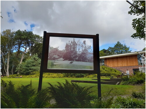
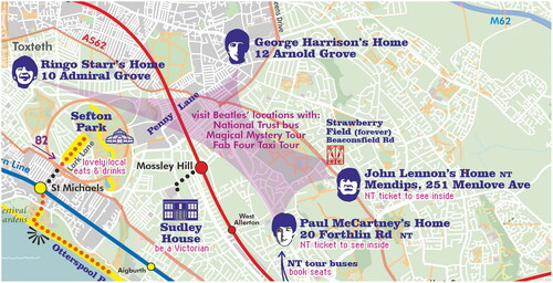
Figure 12. A section of Liverpool Pop City map (reproduced with permission from Quickmap Ltd).