
Figures & data
Figure 1. Four phases in the Swedish strategic choice of measures (SCM) transportation planning methodology. Adapted from STA (Citation2014).
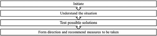
Table 1. Summary of PPGIS studies.
Figure 2. Sälen within Malung-Sälen municipality, Dalarna region, Sweden.
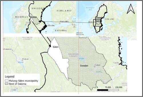
Table 2. Tourism infrastructure and guest turnover in Sälenfjällen.
Figure 3. Illustration of current transportation solutions in Sälenfjällen.
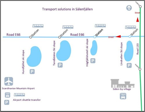
Figure 4. Diagram of method protocol in the study.
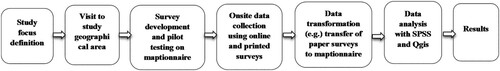
Table 3. Distribution of surveys over five weeks.
Figure 5. Interactive survey on the Maptionniare interface.
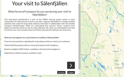
Table 4. Attributes mapped by respondents.
Table 5. Description of respondent and trip characteristics.
Figure 6. All markers placed by visitors.
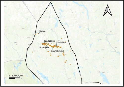
Figure 7. Markers indicating accommodation preferences of visitors.
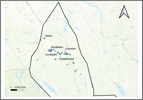
Figure 8. Markers indicating visitors’ preferences for activities.
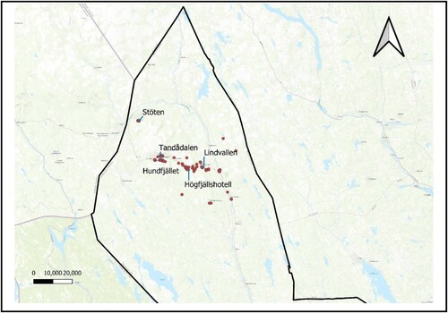
Figure 9. Visitor preferences for improvements.
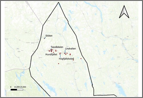
Table 6. Some examples of suggested improvements by visitors.