
Figures & data
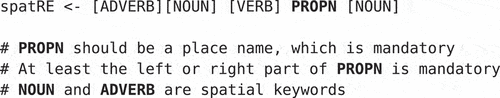
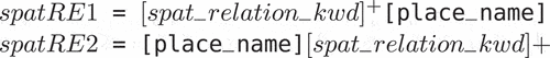
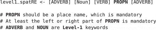
Figure 1. Level-1 spatRE.
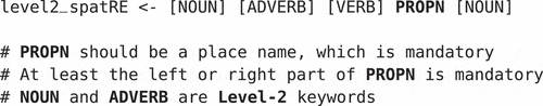
Figure 2. Level-2 spatRE.
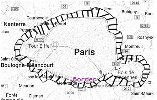
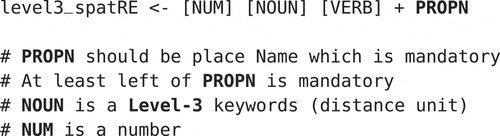
Figure 3. Level-3 spatRE.
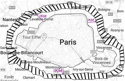
Figure 4. Compound spatRE.
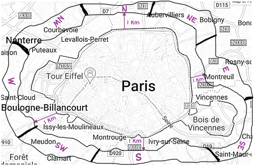
Figure 5. spatRE pipeline.
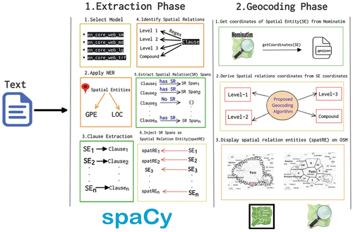
Table 1. Spatial relation entities (spatRE).
Algorithm 1 Procedure/Pipeline to extract spatREs
Algorithm 2 Algorithm for Extraction Phase
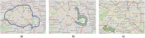
Figure 6. Level-1 & Level-2 spatial relations.
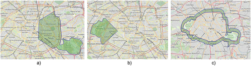
Figure 7. Level-3 & compound spatial relations.
Algorithm 3 Procedure to extract Cardinal Coordinates
Table 2. Extraction phase results (spatRE extraction).
Algorithm 4 Procedure to extract Ordinal Coordinates
Table 3. Qualitative evaluation of spatial relation by city.
Table 4. Qualitative evaluation of Level-1 spatial relations.
Table 5. Qualitative evaluation of Level-2 and Level-3 spatial relations.
Algorithm 5 Procedure to extract Level-1 Coordinates
Algorithm 6 Procedure to extract Level-2 Coordinates
Algorithm 7 Procedure to extract Level-3 Coordinates
Algorithm 8 Algorithm for Geocoding Phase