
Figures & data
Figure 1. (a) Professional mapping drones. (b) Consumer grade drones
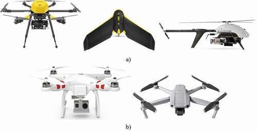
Figure 2. Proposed concept
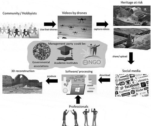
Figure 3. Proposed methodology
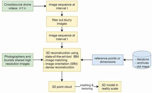
Figure 4. Left) White paint of a personal memory on the structure bricks. Right) Visitors climbing the structure
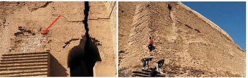
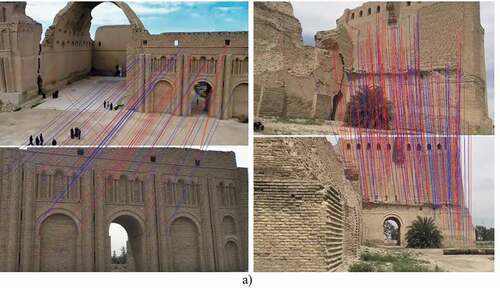
Figure 5. The 3D image-based model of the Taq Kasra site derived from crowdsourced drone videos. a) Image matching samples. (left) Matching between the drone video frame and ground frame. (right) Image matching between two challenging views. b) the oriented images taken from the crowdsource drone (red) and ground-based videos (blue). c) Final reality-scaled 3D model
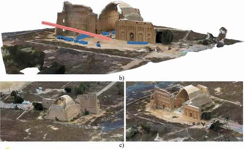
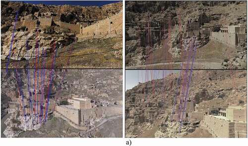
Figure 6. 3D reconstructed model of Rabban Hormizd monastery. a) Image matching samples. Matching between the drone video frame and ground frame (left). Image matching between two drone views (right). b) the oriented images taken from the crowdsource images. c) Final reality-scaled 3D model
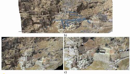
Figure 7. 3D reconstructed model of Samarra great mosque minaret using drone and ground-based crowdsource video images
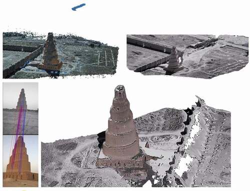
Figure 8. The density of the reconstructed point clouds of the three heritage sites. a) The Great Mosque of Samarra. b) Rabban Hormizd Monastery. c) Taq Kasra
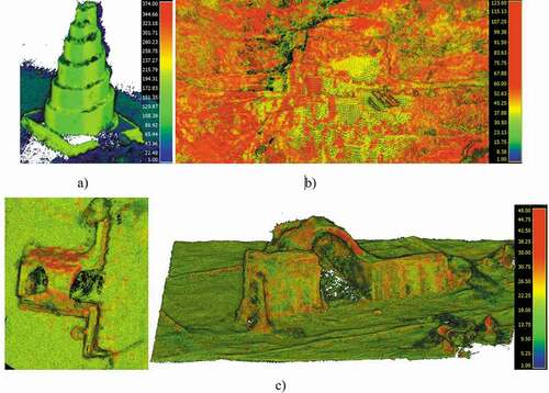
Table 1. The summary of the results of the three experiments