
Figures & data
Figure 1. Map of Uganda showing location of Mbarara District. Extended is the map of Mbarara district, showing the sub counties where the study was carried out
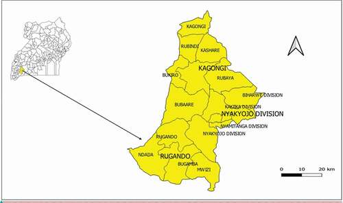
Table 1. The health facility classification in Uganda
Table 2. Characteristics of the study participants
Table 3. Summary of the themes and their categories and sub-categories