Figures & data
Figure 1. Location of the study area. Numbers indicated within the study area refers to the photographs reported in the paper.
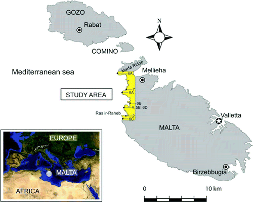
Figure 2. View of the Victoria Lines fault.
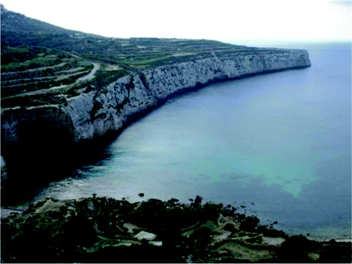
Figure 3. Geological sketch of Malta modified after CitationPedley et al. (2002) and CitationOil Exploration Directorate (1993). Legend: Upper Coralline Limestone Formation (1), Blue Clay Fm. (2), Globigerina Limestone Fm. (3), Lower Coralline Limestone Fm. (4), main faults (5).
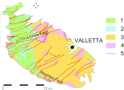
Figure 4. The southern part of Il-Pelegrin promontory where landscape is controlled by different rates of erosion, related to intrinsic geomechanical qualities of rock materials.
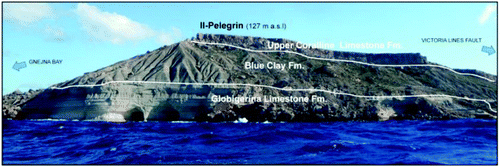
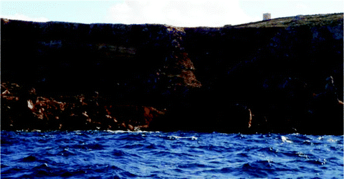
Figure 5. Rock-spreading and block-sliding phenomena affect large sectors of the coast (A). A large complex-landslide deposit reaches directly the sea following a pre-existing incision/depression developed on clayey terrains (B) (Courtesy of Ten. Col. M. Marchetti).
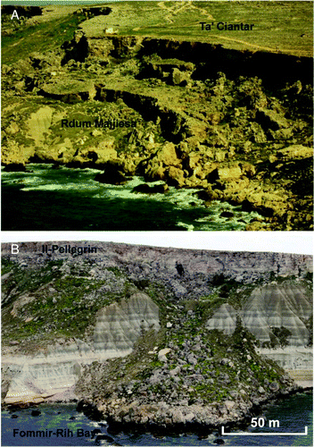
Figure 6. Shore platforms cut in Globigerina Limestone Fm. at Ras il Qammieh (A) and at Gnejna Bay (B); marine caves cut in Lower Coralline Limestone Fm. (C) and in Globigerina Limestone Fm. (D).
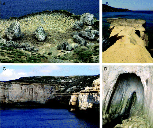
Figure 7. Sinkhole located at Ghadira Bay.