Figures & data
Figure 1. Tectonic sketch map of the Main Ethiopian Rift (MER). Inset map shows the relative motion between Nubia and Somalia plates (modified from CitationStamps, Calais, Saria, Hartnady, Nocquet, Ebinger, & Fernandes 2008. A kinematic model for the East African Rift. Geophysical Research Letters, 35, L05304, DOI: 10.1029/2007GL032781. Copyright 2008 American Geophysical Union. Used with permission.)
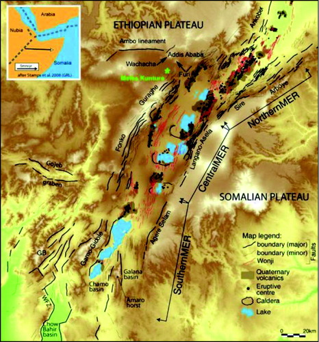
Figure 2. Differential GPS survey: static mode (left) and Real Time Kinematic (right).
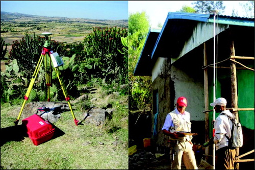
Figure 3. Acid to intermediate lava flows outcropping at the Melka fault.
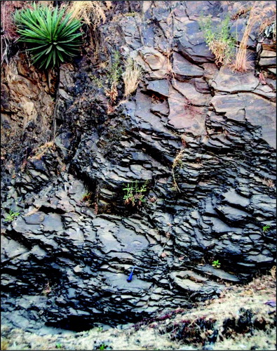
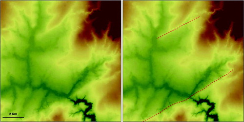
Figure 4. Morphological evidences of some NE SW-oriented faults represented on the Digital Elevation Model.
Supplemental material