Figures & data
Figure 1. Location of the Pálava Protected Landscape Area within the Czech Republic.
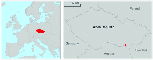
Figure 2. Atlas layout with the arrangement of text and map pages describing a certain theme, including different colors for various chapters. For detail, see the map supplement.
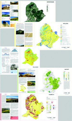
Table 1. Content of the atlas and the scales at which maps were prepared. Maps accompanying the paper are marked with *.
Supplemental material