Figures & data
Figure 1. Location map of the Capers Inlet Quadrangle, South Carolina study area.
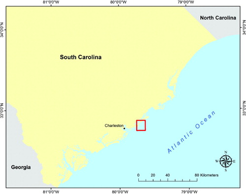
Figure 2. Bedform features located near the −10 m bathymetric contour (in yellow). Bathymetry derived from 1958 NOAA hydrographic data.
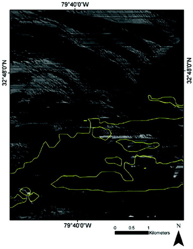
Table 1. Quartz OSL and feldspar IRSL ages from the Caper's Inlet Quagrangle.
Supplemental material