
Figures & data
Figure 1. Location map of the study area.
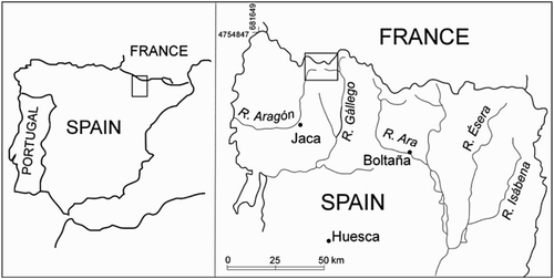
Figure 2. Slopes with high and very high avalanche susceptibility in the Ruisseau de l'Ourade valley (Pico Las Ferraturas-Pic de Peyrelue area) (Photo: J. Chueca).
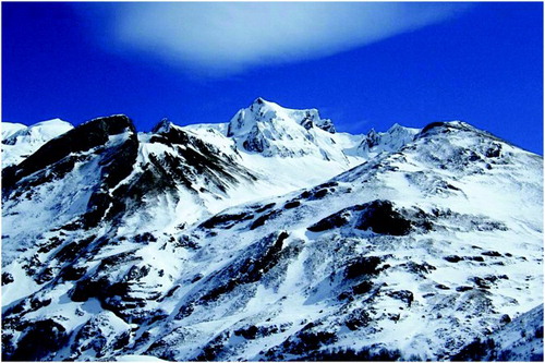
Figure 3. Ruisseau du Pourtalet valley (Cirque d'Anéou area): moderate and high avalanche susceptibility slopes (Photo: J. Chueca).
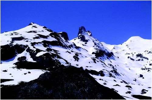
Figure 4. Summer view from the Llanos de Anayet of the slopes of the Vértice de Anayet (left) and Pico de Anayet (right) with reduced avalanche susceptibility due to high slope values (Photo: J. Chueca).
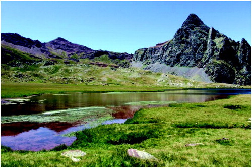
Figure 5. Avalanche paths in the Canal Roya (Canales del Serradero sector) (Photo: J. Chueca).
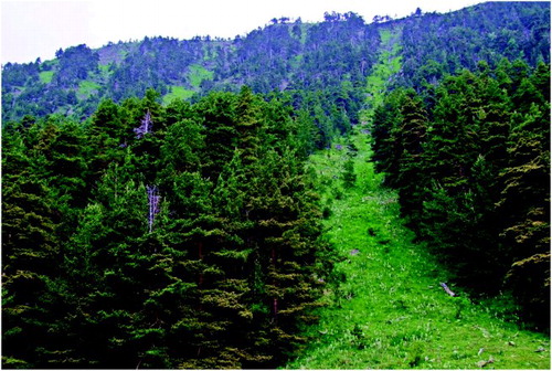
Table 1. Weights applied to the intervals defined for each of the variables used in the multicriteria analysis.
Supplemental material