
Figures & data
Figure 1. Location map of the Munamicua flood hazard and community map as well as the overview map.
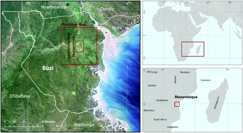
Figure 2. Workflow of the developed approach to assess the vulnerability at the community level (Kienberger, Citation2013).
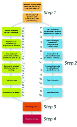
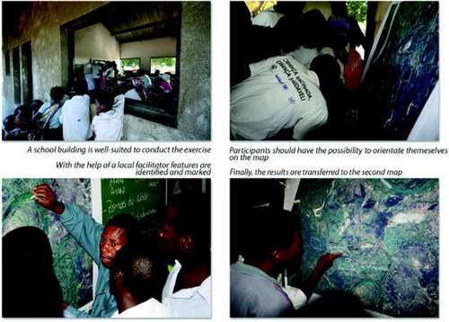
Figure 3. Different phases during the community mapping.
Supplemental material