Figures & data
Figure 1. The landscape view of Mt. Prinzera's eastern side. The ophiolitic rock complex rises from the surrounding gentler slopes made up of soft rocks (clay-rich breccias and flysch). The rock mass is divided into several portions (in the middle/left-hand side of the photograph the principal one and on the right-hand side the secondary blocks) because of the presence of E-W fault system.
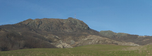
Figure 2. Massive peridotites outcrop and correspond to Mt. Prinzera's eastern slope. The picture clearly shows the pervasive planar foliation of the rock mainly due to tectonic deformation.
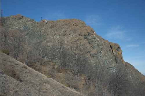
Figure 3. Gullies entrenched along Mt. Prinzera's hillslope are the most widespread forms controlled by structural features. They are dry, or almost dry, most of the time, while during rainfalls, or shortly after, they become full of water which quickly runs down the slope, as in the case of the gully shown in the picture of Mt. Prinzera's western side.
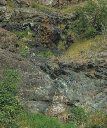
Figure 4. The gap shown in the picture, corresponding with Mt. Prinzera's southern sector, is one of the better developed in the study area. These landforms are often aligned with linear forms, such as gullies and rills.
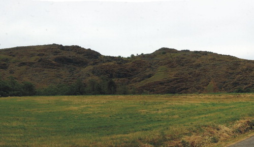
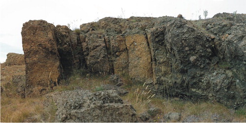
Figure 5. The discontinuities are often pervasive and open, thus the rocks appear completely detensioned, as in the outcrop of peridotites shown (see photograph number 3 on the geomorphological map).