Figures & data
Figure 1. Location map of the study area. Topography is shown by shaded and colored SRTM elevation data. Topographic profiles along transects shown in and are noted and the position of the dated lava flow underlying the GPG (CitationMercer, 1976) till. Rectangles with dashes lines show the location and extent of subscenes of and .
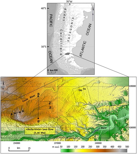
Figure 2. Map of southern South America showing the extent of regional maps made by previous authors and the area mapped in this study.
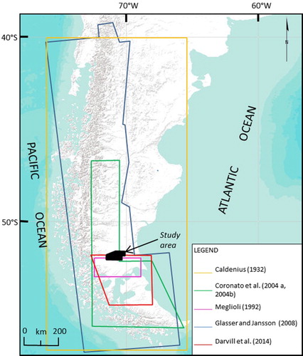
Figure 3. Isolated erratic boulders on a moraine ridge, most of them Andean in origin.
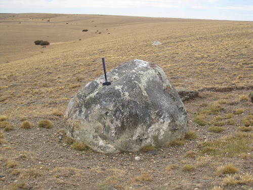
Figure 4. Topographic profile across a moraine belt composed of prominent individual ridges. Transect A–A′ location is indicated in .
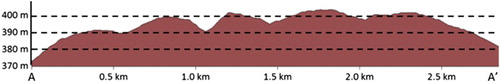
Figure 5. Morainal topography on the tablelands. (a) Gently undulating topography of moraine ridges seen from one of the moraine forming belts. (b) Terrain profile along the line of sight of (a). The relative level among these moraines is the largest in the glacial landscape.
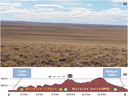
Figure 6. Low, elongated and rounded frontal moraine ridge in the northeast corner of the study area (seen from east).
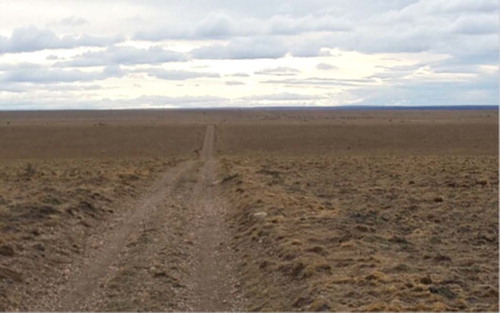
Figure 7. Grayscale SRTM elevation data subscenes. (a) Crosscutting contacts between moraines of Glacial Unit I (I) and Glacial Unit II (II); note the smooth topography of Glacial Unit I. (b) Crosscutting contacts between moraines of Glacial Unit I (II) and moraines of Glacial Unit III (II). White arrows indicate where truncation can be clearly seen. Location shown in .
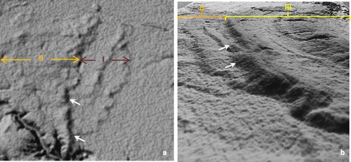
Table 1. Summary of ridge morphology and boulder content for moraines in the northeast corner and northern and southern halves of the map areas.
Figure 8. Fault scarp along the northern margin of the Río Gallegos valley, where triangular facets are still recognizable.
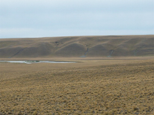
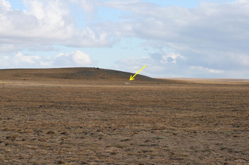
Figure 9. Scoria cone overrun by glaciers and degraded by cryogenic processes. A huge erratic boulder at the slope foot is pointed out by the arrow.