
Figures & data
Figure 1. Regional setting of the study area (yellow box).
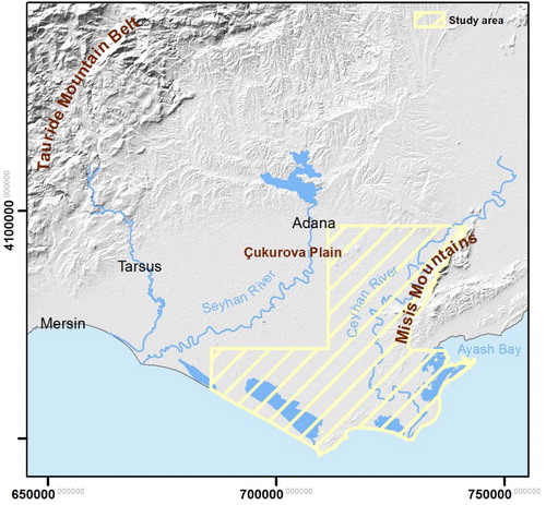
Figure 2. Simplified tectonic sketch map showing major fault lineaments (modified from CitationWalsh-Kennedy et al., 2014). The study area appears in yellow. EFZ: Ecemis Fault Zone and KFZ: Karataş Fault Zone.
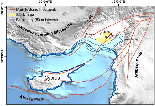
Figure 3. Karst dissolution features: rillenkarren and kamenitza.
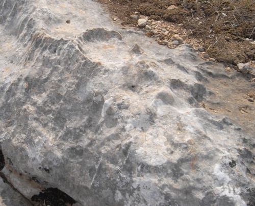
Figure 4. Oxbow swamps due to recent variations in the fluvial channel pattern, near Kesik village (© 2016 DigitalGlobe, © 2016 GeoEye).
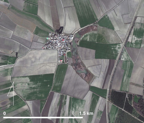
Figure 5. Evident progressive lateral meander migration near Esenler village (© 2016 DigitalGlobe, © 2016 GeoEye).
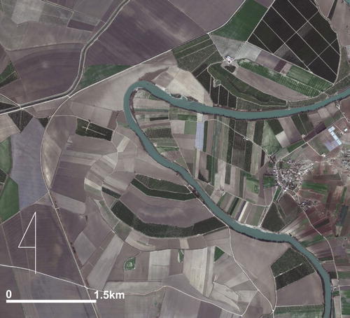
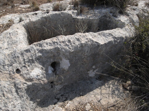
Figure 6. Traces of ancient tufa quarry.
Supplemental material