Figures & data
Figure 1. Map of study area. (a) Location of site in the foothills of New Zealand’s Southern Alps. (b) Study site.
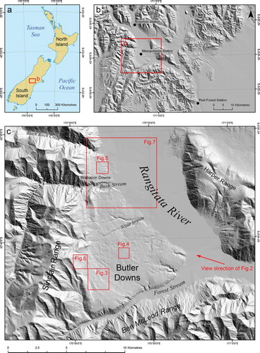
Figure 2. Oblique Google EarthTM imagery of Butler Downs with Rangitata River in right foreground, Forest Creek in left foreground, and Two Thumbs Range in background.
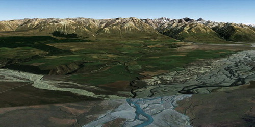
Figure 3. Kame terraces in central and southern region showing distinct arc. (a) Stereoscopic imagery. (b) Mapped features.
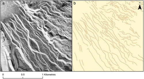
Figure 4. Kettle hole topography with meltwater channels. (a) Aerial imagery. (b) Mapped features. (c) Photograph from field.
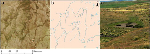
Figure 5. Orientation of lateral moraines aligning with established pattern. (a) Aerial imagery. (b) Mapped features. (c) Photograph from field.
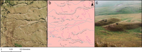
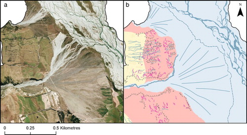
Figure 6. Debris fans disrupting kame terrace sequence. (a) Aerial imagery. (b) Mapped features.
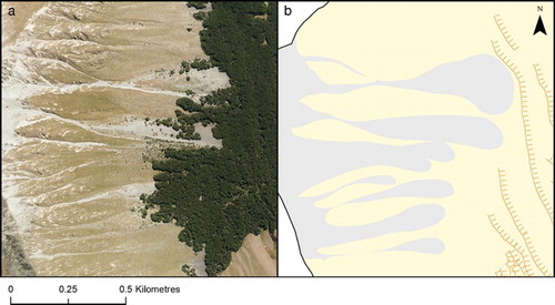
Figure 7. Laterally coalescing alluvial fans from Black Birch Creek and Bush Stream. (a) Aerial imagery. (b) Mapped features.