
Figures & data
Figure 1. The study area for Bușteni town, Upper Prahova Valley, Romanian Carpathians.
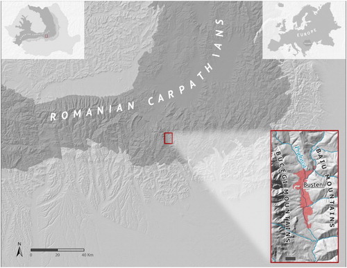
Figure 2. Panoramic view of Bușteni town seen from North West (Photo: B. Olariu, 2017).
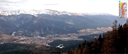
Table 1. Data sources and their characteristics.
Figure 3. Flow chart for data processing and analysis.
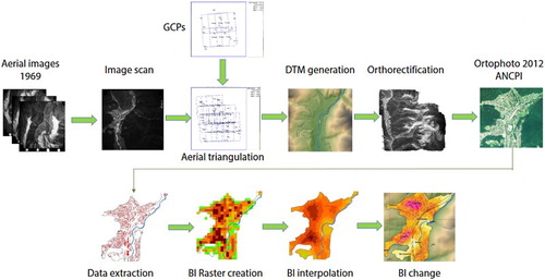
Figure 4. (a) Spatial urban sprawl of Bușteni town towards Bucegi Massif. (b) Detail image of Bușteni town (Valea Albă district) (Photo: B. Mihai, 2016).
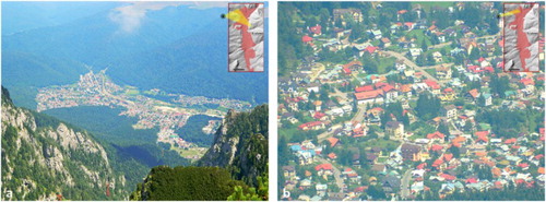
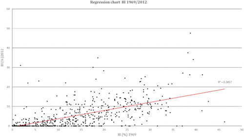
Figure 5. Scatter plot chart for BI (1969–2012).
Supplemental material