
Figures & data
Figure 1. Geographical setting of the study area, located in the Western Mediterranean Sea, Gulf of Cagliari (A), including the wave exposure angles (referred to the N = 0°) and fetch of Poetto (yellow lines) and Giorgino (red lines) beaches. Wind speed and direction (B) from Cagliari station of the national tidal monitoring network (location: orange star); significant wave height and direction (C) at the NOAA hindcast dataset point (location: green star).
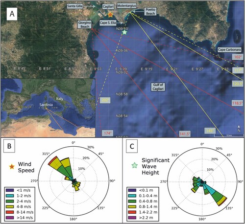
Figure 2. Immersive image of a section of Poetto beach (location: red rectangle) acquired by drone.
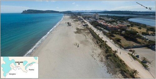
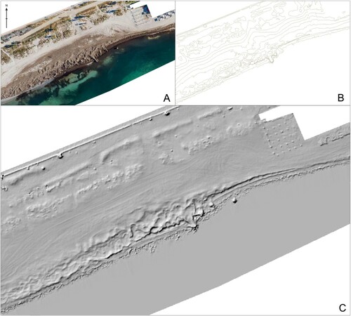
Figure 3. Example of aerial-photogrammetric survey. (A) orthophoto; (B) topographic contour line (10 cm interval); (C) Digital Terrain Model (DTM).
Supplemental material