
Figures & data
Figure 1. Case study area. Source: By the main author through ArcGIS® and ArcMap ™ 10.4.1. software by Esri., 2020.
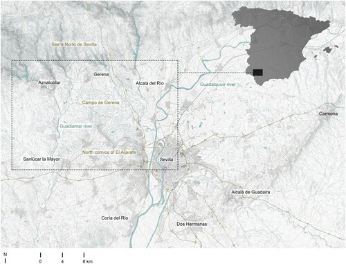
Figure 2. North cornice of El Aljarafe. View from Campo de Gerena. Source: Main author.
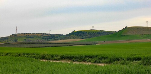
Figure 3. View of industrial parks and fast roads in the river plain of Gualdaquivir from the North cornice of El Aljarafe. Source: Main author.
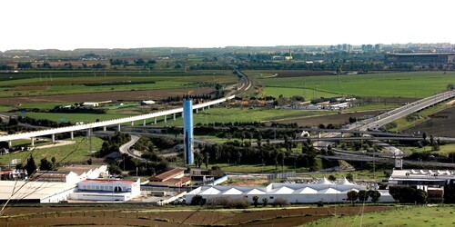
Figure 4. Miniatures of the historical cartographies consulted, cut out and framed in the area of study. The reference number corresponds to that specified in and . Source: Main author.
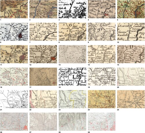
Table 1. Historic cartography consulted for the modern era. Source: Main author.
Table 2. Historic cartography consulted for the contemporary era. Source: Main author.
Table 3. Fields added to the attribute table. Source: Main author.
Figure 5. Landscape of the North Cornice of El Aljarafe from ‘Santa Brígida’ viewpoint. Source: Main author.
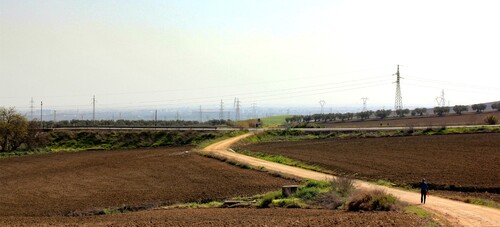
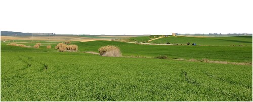
Figure 6. Landscape of Campo de Gerena from the trail ‘ruta del Agua’. Source: Main author.
TJOM_2009924_SUPPLEMENTARY_MATERIAL
Download PDF (9 MB)Data availability statement
The georeferenced information with which these maps have been developed cannot be publicly available. A part of the used spatial information has been provided to the authors through an external institution for the exclusive purpose of research and was not aimed to be distributed by the authors.