
Figures & data
Figure 1. Photograph of the royal tomb (‘Königsgrab’) of Seddin.
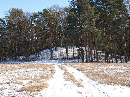
Table 1. Historical, thematic, and topographic maps considered for the production of the Main Map A, chronologically sorted by the year(s) of production/publication (for further information see Supplementary Material).
Table 2. GRASS modules that were used for calculation of the DEM derivates.
Figure 2. (A) Simplified profile drawing of core SD-17-6 that was obtained from the bottom of the depression in the north of the forest ‘Wickboldsche Tannen’. (B) Calibration of the radiocarbon sample obtained from SD-17-6; dated material was a bulk sample from the peat. (C) Detail of the depression in the north of the forest ‘Wickboldsche Tannen’ (cf. northern part of Main Map A for location) and location of coring SD-17-6 (the map is projected in UTM Zone 33U (EPSG: 32633) and refers to the horizontal reference system ETRS89/WGS84).
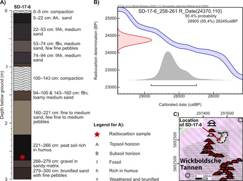
Figure 3. Photograph of a planum showing a part of the excavated stone pit row.
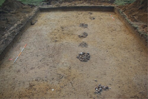
Figure 4. Photograph of an excavated stone pit of the stone pit row.
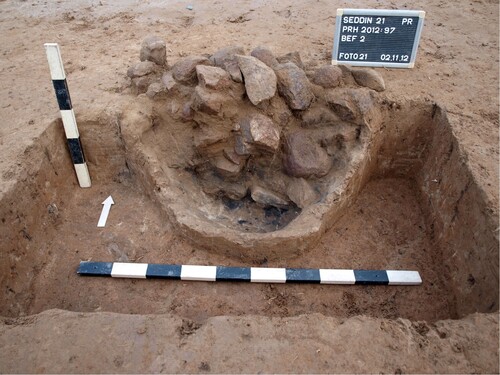
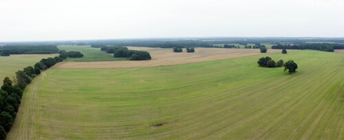
Figure 5. Panorama picture of the present-day landscape in the surroundings of the royal tomb created from oblique aerial photographs.
Supplemental Material
Download PDF (58 MB)Data availability
The data that support the findings of this study are openly available. All details on source, copyright, and license are provided in the Supplementary Material of this article.