Figures & data
Figure 1. Location of the Biferno River catchment.
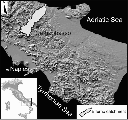
Figure 2. Lithologic sketch map of the Biferno River catchment.
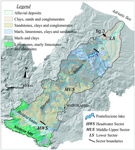
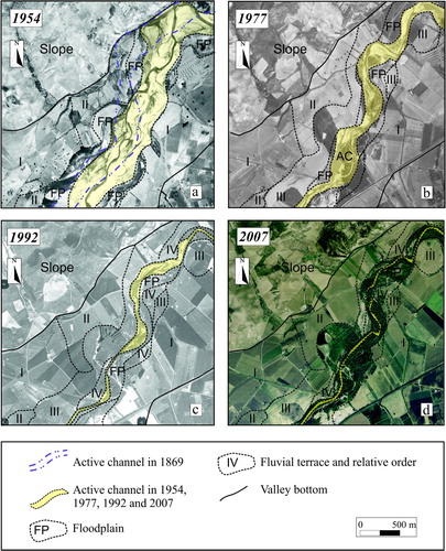
Figure 3. Major transformations of the Biferno River valley floor illustrated comparing fluvial forms characterising a small sub-reach located in Reach 4 (for location see also ) in 1954, 1977, 1992 and 2007, respectively.
Supplemental material