Figures & data
Figure 1. The Bwamba area, not administered until 1920.
Source: Kibulya and Langlands.

Figure 2. The Kenya–Uganda boundary in Lake Victoria.
Source: War Office, 1938 Kenya Colony Map.
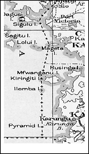
Table 1. East African population in millions: 1950–2010 actual.
Table 2. East African population projections in millions.
Table 3. East Africa profile in 2007.
Figure 3. The Uganda–DRC boundary in Lake Albert.
Source: FAO.
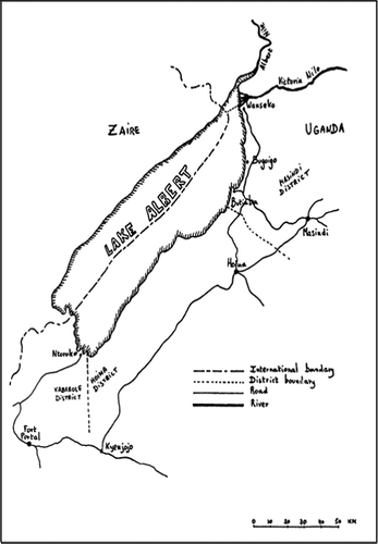
Table 4. Nile perch exports to EU countries (in tonnes).
Table 5. Nile perch exports to EU countries (in Euro).
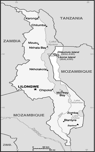
Figure 4. Lake Malawi.
Source: CIA.