Figures & data
Table 1. SAR features.
Figure 1. Ice field collapse in the Antarctic (Larsen platform 3250 km2). Image from Envisat (ASAR), March 2002.
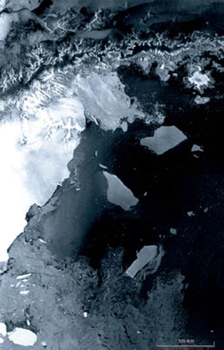
Figure 2. Two images taken by the C band DLR–SAR system (19 April and 24 May 2006),in Demmin, an agricultural site located in Mecklenburg–Vorpommern in North-East Germany.
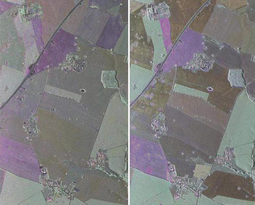
Figure 3. Biomass calculated using SIR-C/X-SAR in Raco, Michigan.
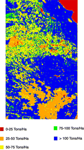
Figure 4. Envisat (ASAR) image of oil pollution (shown in black) from the wreck of the tanker Prestige off the Spanish coast in November, 2002. (courtesy ESA)
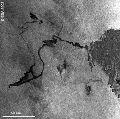
Figure 5. Flooding in Bangladesh and parts of India brought on by two weeks of persistent rain.
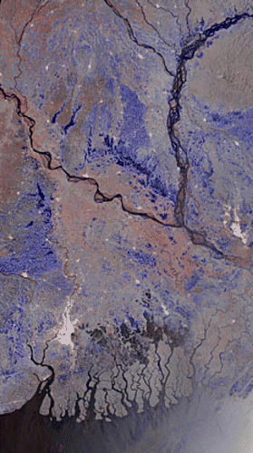
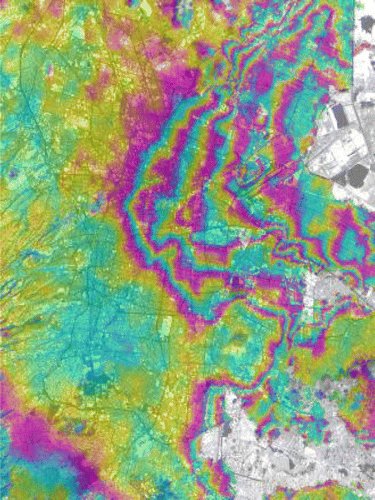
Figure 6. Displacement map of Mexico City metropolitan area over six months in 1996.