Figures & data
Table 1. Activities within the operational emergency management demanding spatial operations.
Table 2. A map handling overview.
Figure 1. Original (left) and current (right) types of visualization used in GiSel IZS (from Skrivanek et al. 2009).
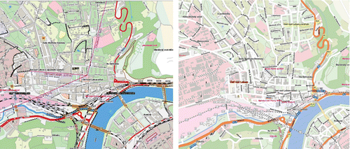
Figure 2. Multi-parametric symbol with (left) and without multiple attributes (right).
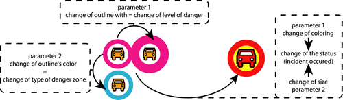
Figure 3. Finding the way: by road atlas (part of the common knowledge; left), in an emergency management-oriented environment (expert knowledge; right).
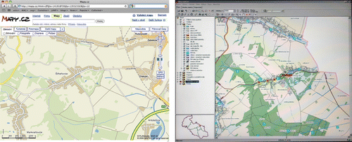
Figure 4. Comparison of the map with full-scale topography (left) and with strongly reduced features (right).
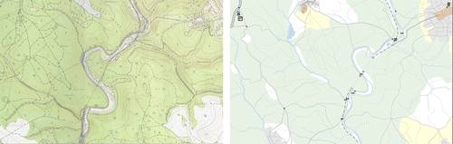
Table 3. Incident classification for emergency calls.
Figure 5. Example of two different contexts (visualization for transport of dangerous cargo: monitoring (left) and incident (right)).
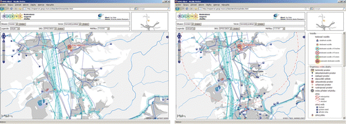
Figure 6. The testing tool – pre-calibration – task tests the ability of the test person to draw a line within the Web environment and to keep the edited line inside the bounding tolerance buffer (left); the real test task: choosing the evacuation route (right).
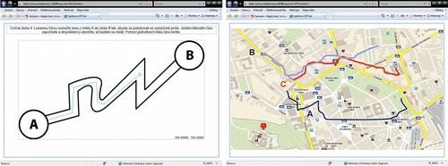
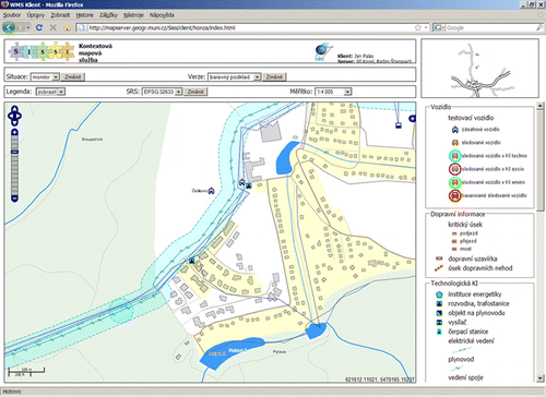
Figure 7. Sissi contextual Web map service interface.