883
Views
9
CrossRef citations to date
0
Altmetric
Original Articles

Monitoring land surface and cover in urban and peri-urban environments using digital aerial photography

, , , , , , & show all
Pages 457-475 | Received 13 Oct 2014, Accepted 26 Apr 2015, Published online: 24 Jul 2015

Figures & data

Figure 1. (Left) The extent of the study area is depicted by the green boundary overlaid on the satellite image of the greater Perth region. (Right) Urban areas are dynamic, as demonstrated by this three-date NDVI composite with the NDVI from 1990, 1998 and 2008 displayed in red, green and blue, respectively. Areas having shades of grey are stable in this display, hot colours represent vegetation decline and cool colours represent vegetation gain.
Figure 2. Primary monitoring data consist of radiometrically calibrated true orthophotos. Digital surface models are generated for each time epoch. Shown are examples of the DSM for 2007 and 2009 (left and middle) and a local example of the orthophoto and corresponding DSM (bottom and top right, respectively).

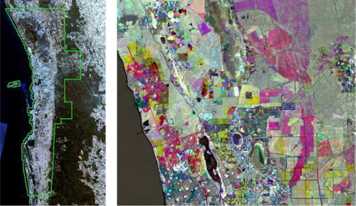
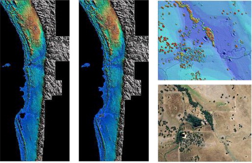
Table 1. The accuracy assessment of elevation differences between the DSM and triangulated tie points, and the DSM and independent check points.

Figure 3. Radiometric calibration of the aerial imagery. (a) Before calibration and (b) after calibration. Reflectance estimates were within 4.4, 9.9 and 18.7% of absolute reflectance as recorded for the black, grey and white painted targets, respectively (Collings and Caccetta Citation2013).
Figure 4. Depiction of the vegetation height for the year 2007 overlaid on a grey scale aerial photograph. In this figure, the height of the vegetation is indicted by its brightness in green, ordered from dark to bright green representing low to high vegetation height, respectively.

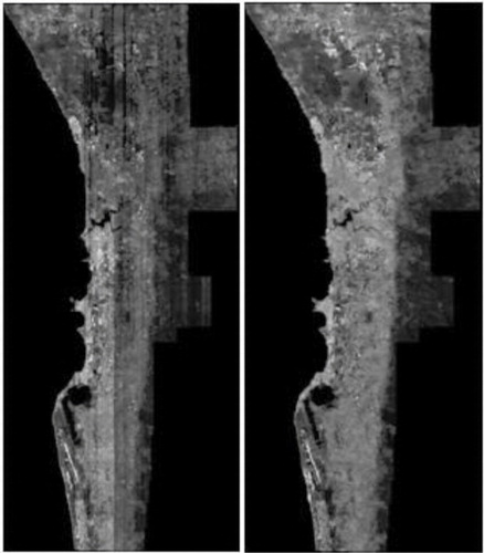
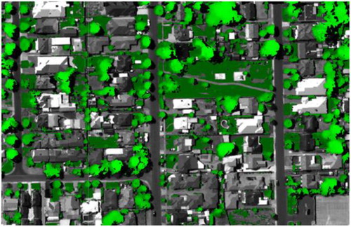
Table 2. Vegetation accuracy for the year 2007.

Table 3. Vegetation accuracy for the year 2009.

Table 4. Tree accuracy for the year 2007.

Table 5. Tree accuracy for the year 2009.

Figure 5. Area of trees [log10(Area_Trees_km2)] by height (m) for the years 2007 and 2009. The estimates show no major departure across the height range.

Table 6. Vegetation summary statistics for the region for the years 2007 and 2009.

Table 7. Tree canopy and height summary by local government area for the years 2007.

Table 8. Tree canopy and height summary by local government area for the year 2009.

Reprints and Corporate Permissions

Please note: Selecting permissions does not provide access to the full text of the article, please see our help page How do I view content?

To request a reprint or corporate permissions for this article, please click on the relevant link below:

Academic Permissions

Please note: Selecting permissions does not provide access to the full text of the article, please see our help page How do I view content?

Obtain permissions instantly via Rightslink by clicking on the button below:

If you are unable to obtain permissions via Rightslink, please complete and submit this Permissions form. For more information, please visit our Permissions help page.